Synspective
  • IR
  • About us
  • Careers
English 日本語
  • SAR Data
    • StriX Data
    • ALOS-4 Data
    • Data Platform
  • Solutions
    • Land Displacement Monitoring (LDM)
    • Flood Damage Assessment (FDA)
    • Disaster Damage Assessment (DDA)
    • Offshore Wind and Wave (OWW)
    • Forest Inventory Management (FIM)
    • Object Detection and Classification (ODC)
  • Satellite
    • More about "StriX"
    • StriX constellation
    • Launch Mission
  • Data Gallery
  • News
    • Press Release
    • Information
    • Events
    • Use Cases
Contact

News

Latest news from Synspective.
Search by year
Search by category
Search by keyword
  • InSAR Analysis Partnership:Enhance Your Geospatial Analytics and Generate New Insights for Your Customers

    InSAR Analysis Partnership:Enhance Your Geospatial Analytics and Generate New Insights for Your Customers

    2023.03.31 Use Case

  • A Use Case for Mitigating Mining Risks with Synspective’s SAR satellites

    A Use Case for Mitigating Mining Risks with Synspective’s SAR satellites

    2022.11.22 Use Case

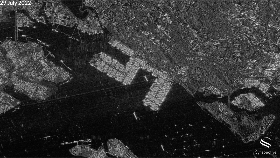
  • The Daily Transformation of the port of Singapore by Synspective’s StriX-β

    The Daily Transformation of the port of Singapore by Synspective’s StriX-β

    2022.10.06 Use Case

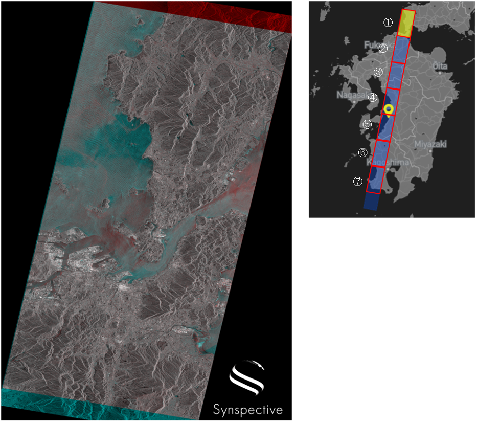
  • September 2022Continuous imaging of the Kyushu region with StriX-β

    September 2022Continuous imaging of the Kyushu region with StriX-β

    2022.10.03 Use Case

  • 2022/09Continuous imaging of Typhoon Nanmadol in the Kyushu region with Strix-β

    2022/09Continuous imaging of Typhoon Nanmadol in the Kyushu region with Strix-β

    2022.09.22 Use Case

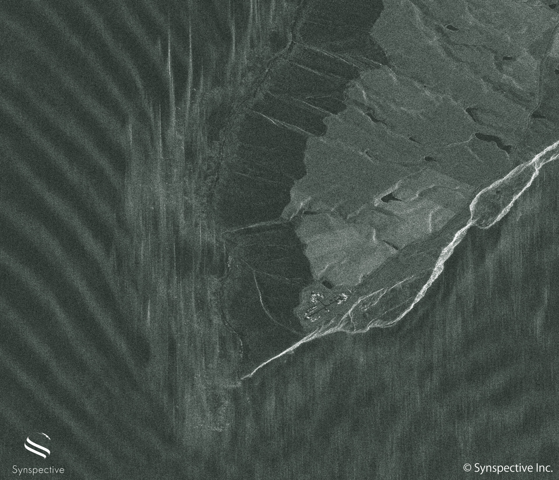
  • Synspective’s "StriX-β" has taken a Sliding Spotlight Image of Its New Sibling "StriX-1"

    Synspective’s "StriX-β" has taken a Sliding Spotlight Image of Its New Sibling "StriX-1"

    2022.09.15 Use Case

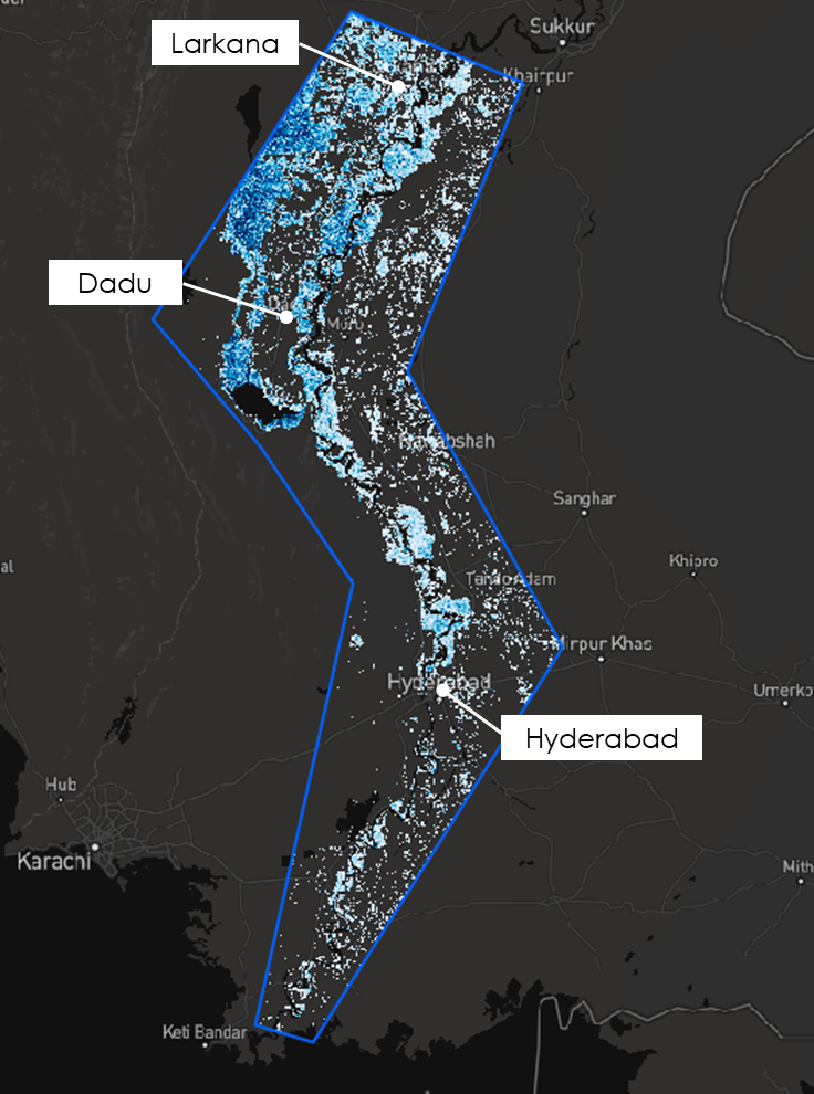
  • September 2022Analysis of Heavy Flooding in Pakistan

    September 2022Analysis of Heavy Flooding in Pakistan

    2022.09.13 Use Case

  • Use Case of Ship Detection Technology with SAR Satellites

    Use Case of Ship Detection Technology with SAR Satellites

    2022.09.06 Use Case

  • Slope Instability-Related Geohazards with InSAR Analysis

    Slope Instability-Related Geohazards with InSAR Analysis

    2022.08.26 Use Case

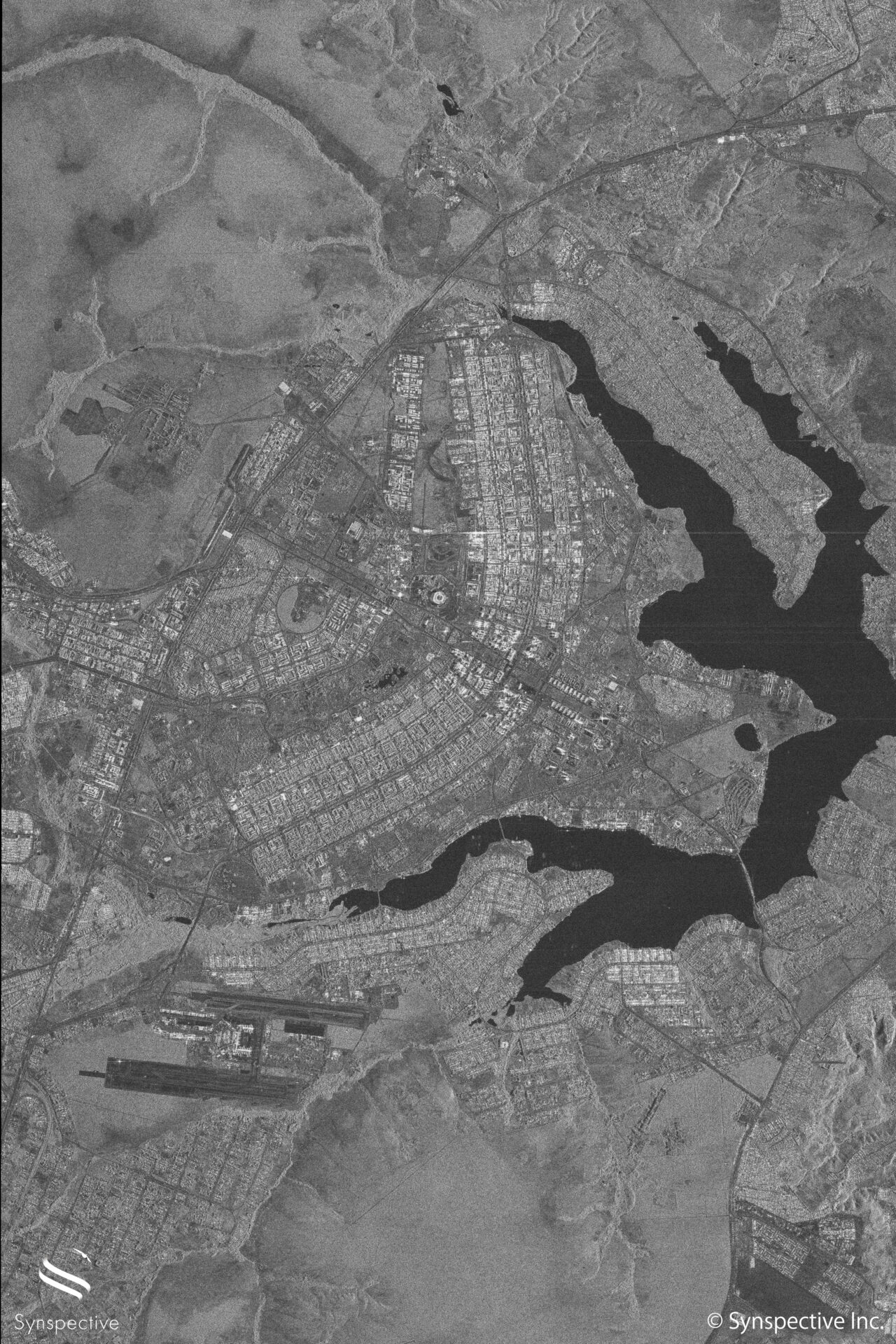
  • Synspective’s "StriX-β" has taken a SAR Stripmap image of Brasilia, Brazil

    Synspective’s "StriX-β" has taken a SAR Stripmap image of Brasilia, Brazil

    2022.08.18 Use Case

  • A Use Case of Forest Monitoring with Satellites

    A Use Case of Forest Monitoring with Satellites

    2022.08.03 Use Case

  • Case Study 001 : Disaster risk monitoring in area at risk of ground movement disasters in Guatemala

    Case Study 001 : Disaster risk monitoring in area at risk of ground movement disasters in Guatemala

    2022.07.11 Use Case

  • 1
  • 2
  • 3
  • 4
  • 5
  • TOP
  • News
SAR Data
  • StriX Data
  • ALOS-4 Data
  • Data Platform
Solutions
  • Land Displacement Monitoring (LDM)
  • Flood Damage Assessment (FDA)
  • Disaster Damage Assessment (DDA)
  • Offshore Wind and Wave (OWW)
  • Forest Inventory Management (FIM)
  • Object Detection and Classification (ODC)
Satellite
  • More about "StriX"
  • StriX constellation
  • Launch Mission
Resources
  • Data Gallery
  • Use Cases
About Synspective
  • Company
  • Global Growth Team
  • Press Kit
News
  • Press Release
  • Information
  • Events
  • Use Cases
Careers
  • Open Positions
linkedin youtube twitter

© Synspective Inc.

  • Privacy Policy
  • Security Policy
  • Terms of Service
  • Product License Terms