News
-
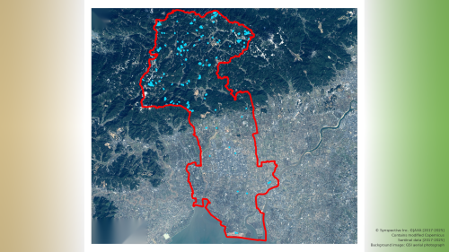
Rapid Disaster Assessment from Space Using the StriX SAR Satellite
2026.08.13 Use Case
-
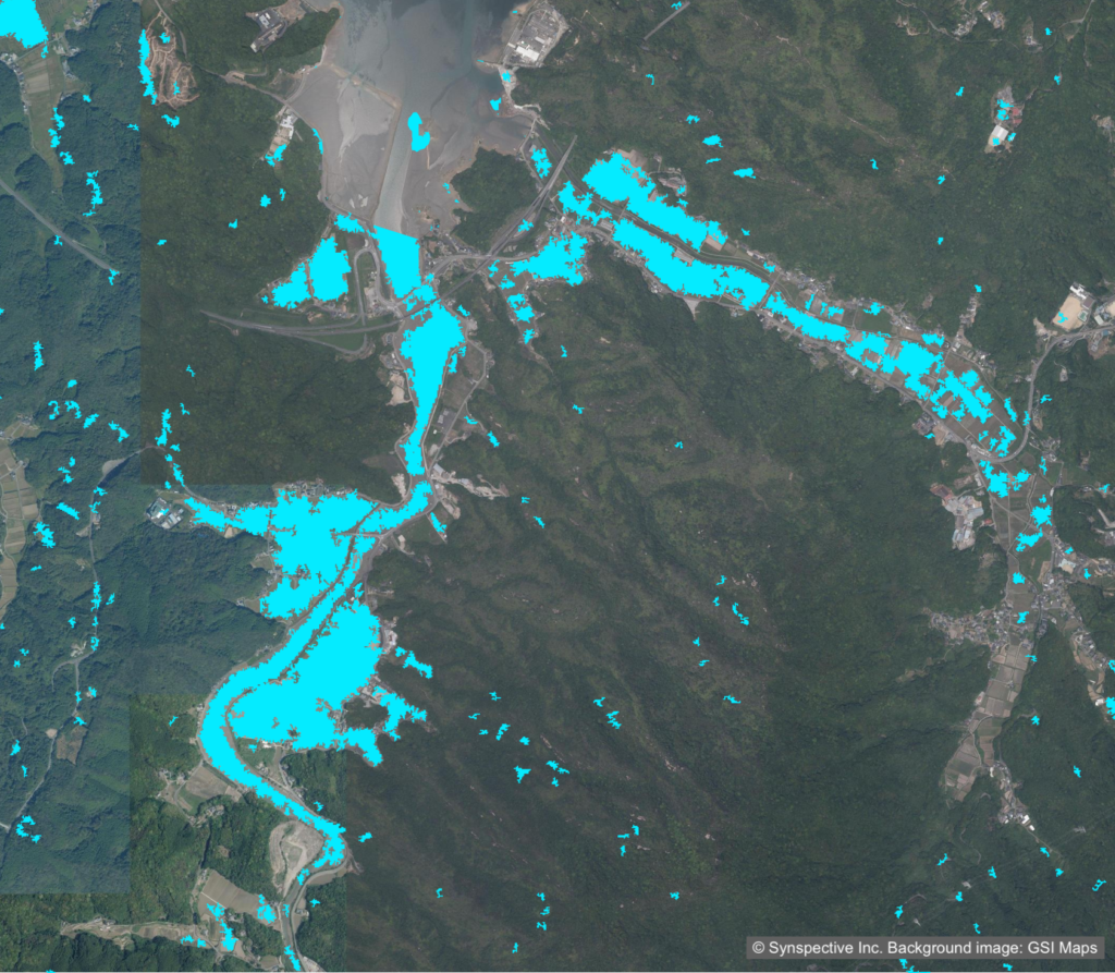
Rapid Disaster Assessment from Space Using the StriX SAR Satellite
2026.07.09 Use Case
-

Wide-Area, Full-Slope Landslide Monitoring with Satellite Data2.5D Time-Series InSAR Using JAXA's ALOS-4 SAR Satellite Shows Close Agreement With On-Site Field Measurements
2026.06.22 Use Case
-
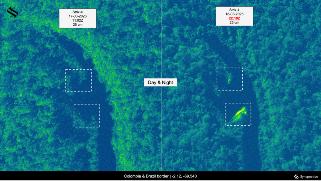
Detecting Illegal Mining in the Amazon Basin
2026.06.15 Use Case
-
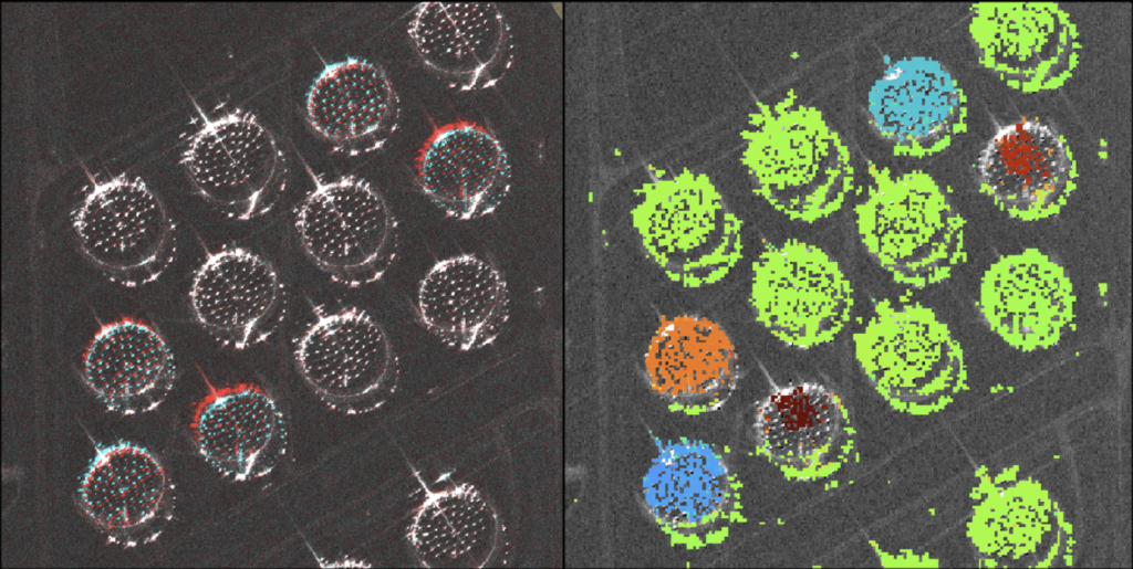
Centimeter-Accuracy Monitoring of Large-Displacement Infrastructure Using StriX SAR and the Pixel Offset Method
2026.05.13 Use Case
-
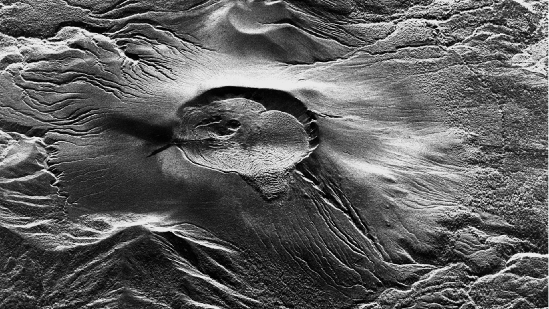
High-Frequency, High-Resolution Observation of Shinmoedake's Renewed Activity Using the StriX SAR Satellite
2025.07.04 Use Case
-
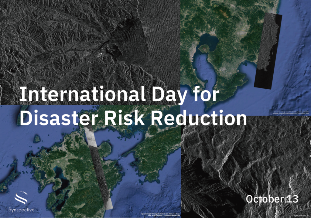
Disaster-related Observation with StriX
2024.10.13 Use Case
-
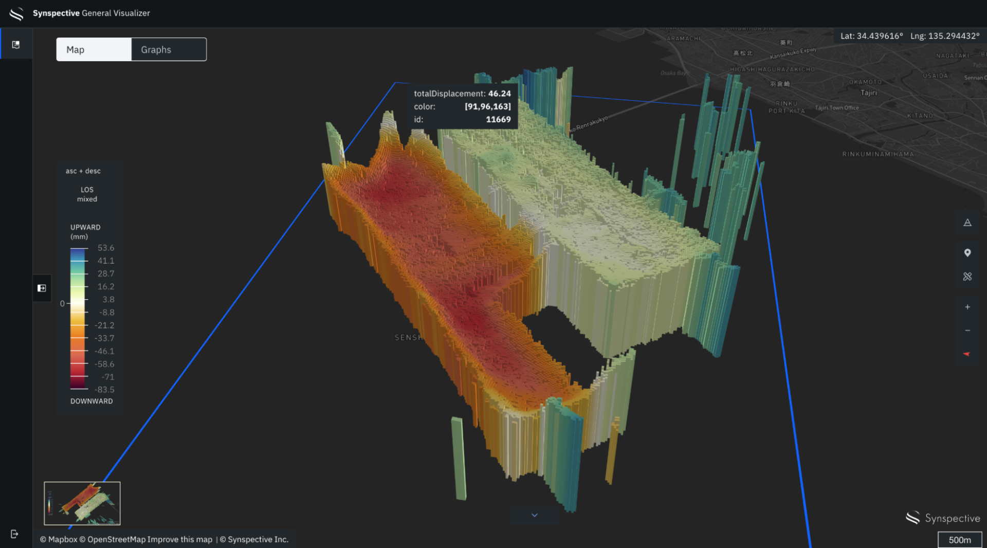
Monitor Land Displacement with Millimeter Accuracy Using SAR Satellites
2024.06.27 Use Case
-
Using SAR data analysis to identify affected areas from the 2024 Noto Peninsula Earthquake
2024.01.22 Use Case
-

Analysis of ground risk in mm with SAR satellites
2024.01.10 Use Case
-

The Sinking of JoshimathHow InSAR Can Help Monitor and Mitigate Large City Areas
2023.08.04 Use Case
-

Analysis of ground risk in mm with SAR satellites
2023.05.18 Use Case