News
-
SAR Data Product Guide Download v11.0
2024.11.12 Document Archive
-
SAR Data Product Guide Download v10.0
2024.10.02 Document Archive
-
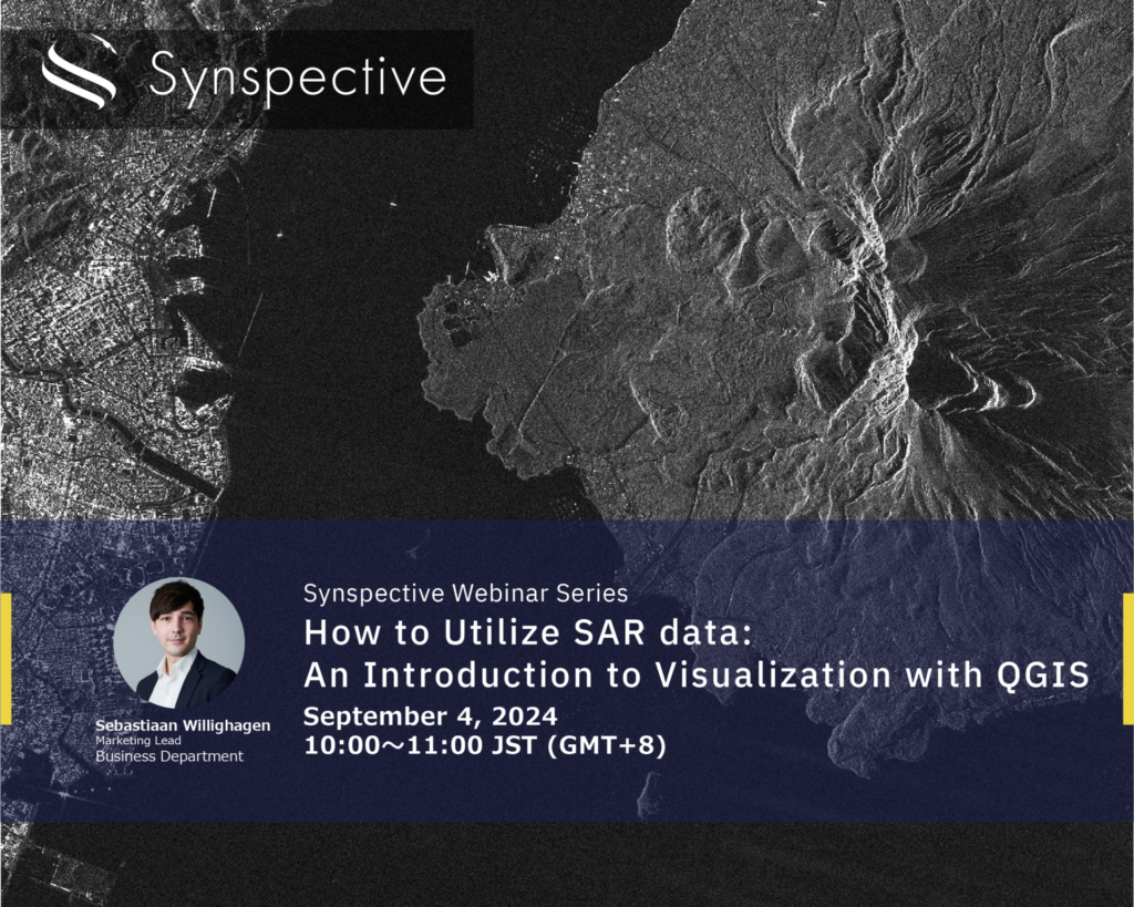
How to Utilize SAR data:An Introduction to Visualization with QGIS
2024.08.21 events
-

Synspective Data Platform User Guide
2024.07.26 Document Archive
-
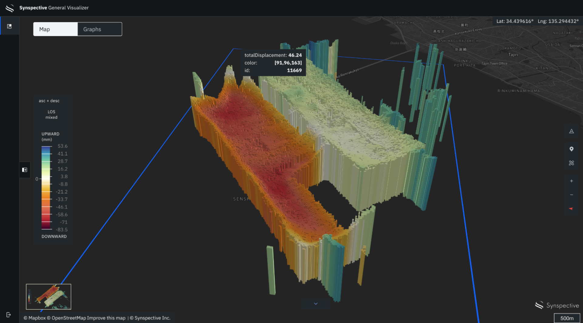
Monitor Land Displacement with Millimeter Accuracy Using SAR Satellites
2024.06.27 Use Case
-
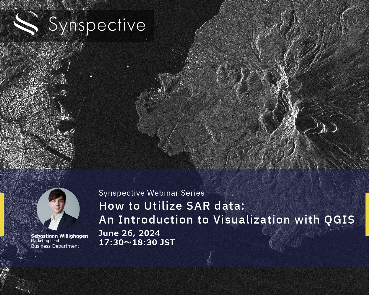
How to Utilize SAR data:An Introduction to Visualization with QGIS
2024.06.19 events
-
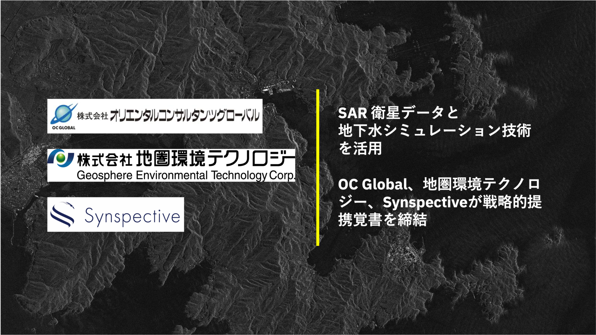
OC Global, Synspective, and Geosphere Environmental Technology Sign Strategic Memorandum of Understanding for SAR Satellite Data and Groundwater Simulation Collaboration
2024.05.15 Press Release
-
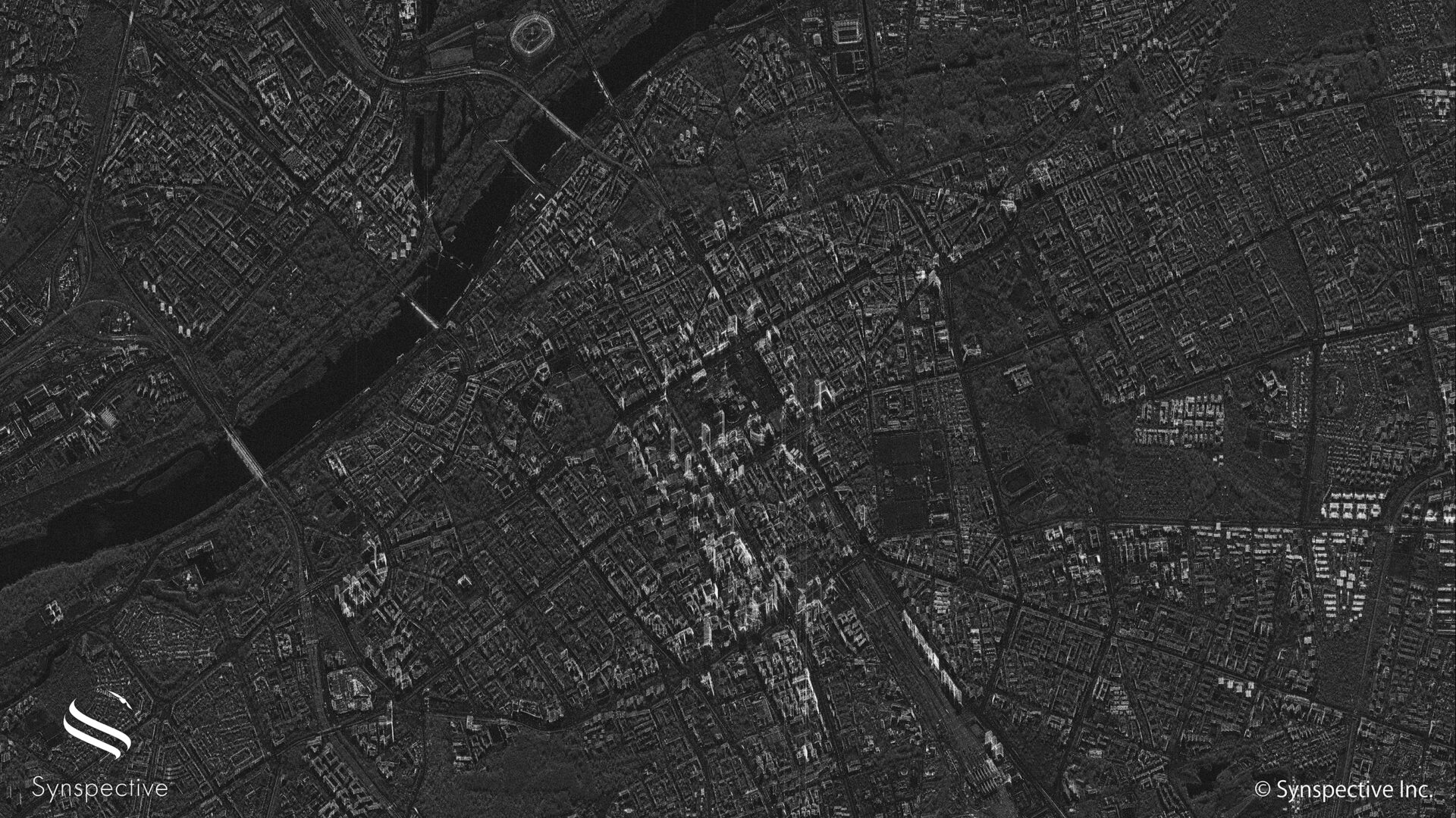
Synspective Releases First Imagery with StriX-3 Satellite
2024.04.25 Information
-

Synspective and Dynamic Map Platform has been selected for the Small and Medium-sized Enterprise Innovation Promotion Program by the Ministry of Land, Infrastructure, Transport and Tourism.
2024.02.29 Press Release
-

How to Utilize SAR data:An Introduction to Visualization with QGIS
2024.02.08 events
-
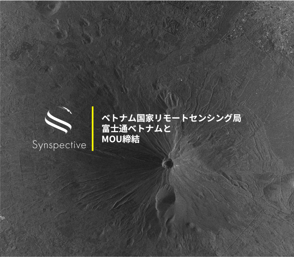
Synspective Signs MOU with the National Remote Sensing Agency of Vietnam and Fujitsu Vietnam to Enhance Natural Disaster Preparedness, Natural Resource Management, and Economic and Social Development
2024.02.08 Press Release
-

Synspective is selected for "Global Top 100 Geospatial Companies – 2024 Edition"
2024.02.06 Awards