News
-
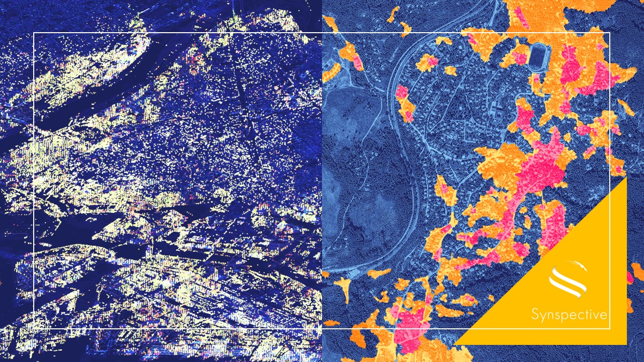
Synspective has been selected for the "Advanced Satellite Remote Sensing Data Utilization Demonstration Project for FY 2023" by the National Space Policy Secretariat.
2023.09.13 Information
-
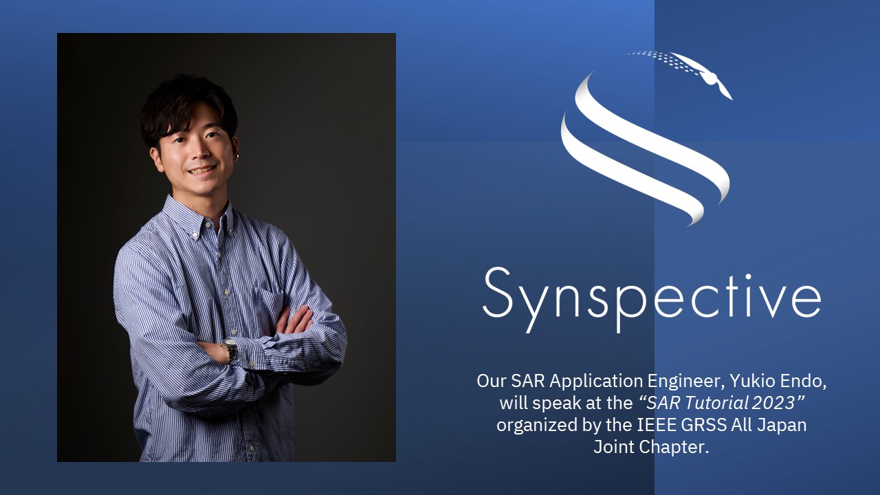
Synspective will speak at SAR Tutorial 2023
2023.09.06 Information
-
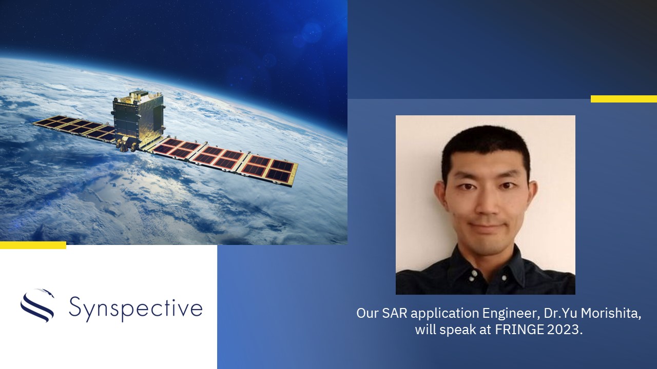
Synspective will speak at FRINGE 2023
2023.08.30 Information
-

The Sinking of JoshimathHow InSAR Can Help Monitor and Mitigate Large City Areas
2023.08.04 Use Case
-

Analysis of ground risk in mm with SAR satellites
2023.05.18 Use Case
-

InSAR Analysis Partnership:Enhance Your Geospatial Analytics and Generate New Insights for Your Customers
2023.03.31 Use Case
-
Synspective and Insight Terra Announce Space-Enabled Data and Monitoring Solution for Mine Tailings FacilitiesCompanies to Combine IoT Platform with Satellite SAR Data
2023.01.17 Press Release
-
Earth Observation from SpaceSynspective Partners with Topconto Create New Synergy for Satellite Data
2022.12.15 Press Release
-

A Use Case for Mitigating Mining Risks with Synspective’s SAR satellites
2022.11.22 Use Case
-
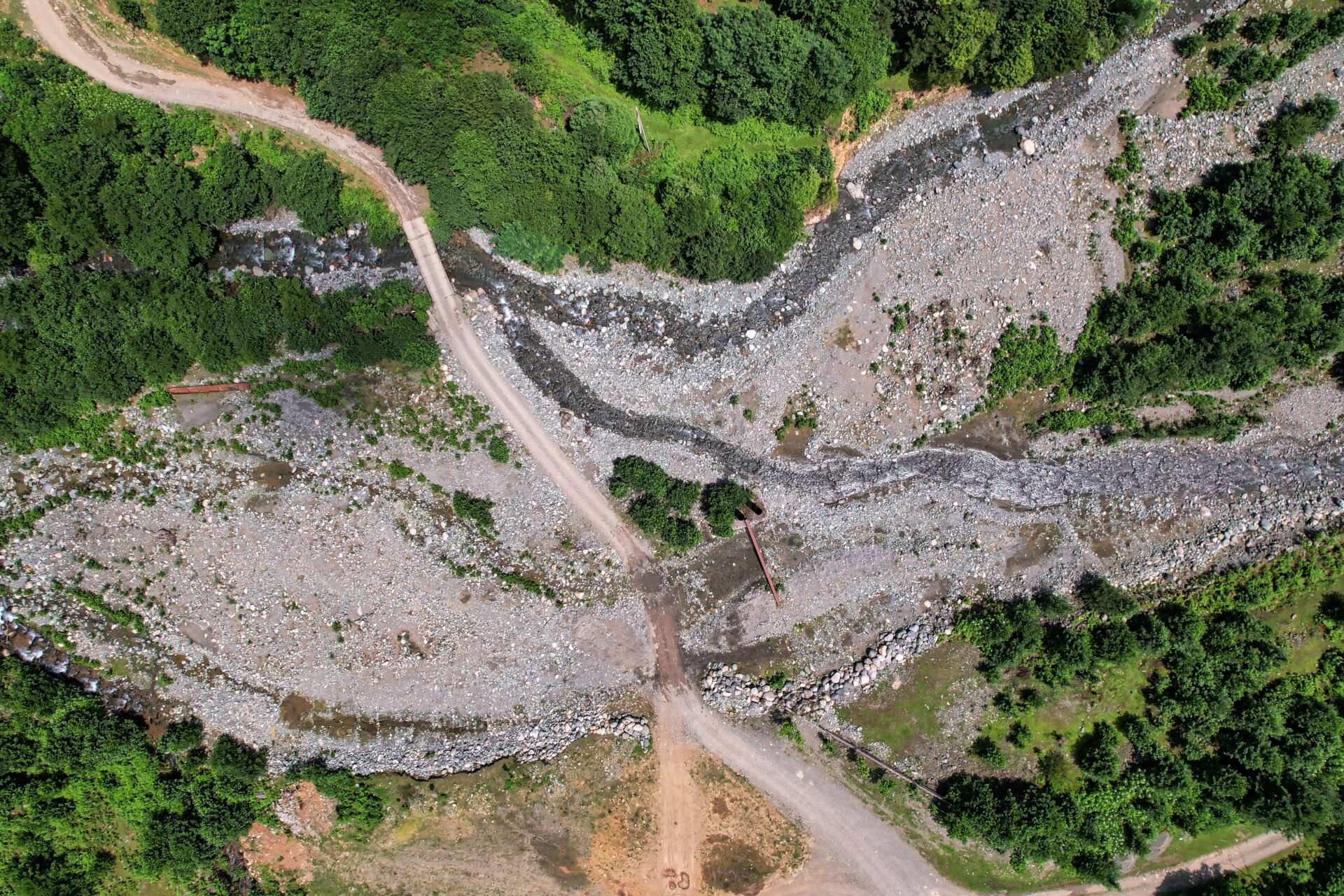
Development of a “Slope Instability Detection Feature”for Predictive Changes and Pre-Disaster Ground Deformation with SAR Data AnalysisPatent Pending (PCT/JP2022/026506)
2022.08.26 Press Release
-

Slope Instability-Related Geohazards with InSAR Analysis
2022.08.26 Use Case
-
On Demand Class: Introduction to Synthetic Aperture Radar (SAR) and Land Displacement Monitoring
2022.04.25 Use Case