Synspective
  • IR
  • About us
  • Careers
English 日本語
  • SAR Data
    • StriX Data
    • ALOS-4 Data
    • Data Platform
  • Solutions
    • Land Displacement Monitoring (LDM)
    • Flood Damage Assessment (FDA)
    • Disaster Damage Assessment (DDA)
    • Offshore Wind and Wave (OWW)
    • Forest Inventory Management (FIM)
    • Object Detection and Classification (ODC)
  • Satellite
    • More about "StriX"
    • StriX constellation
    • Launch Mission
  • Data Gallery
  • News
    • Press Release
    • Information
    • Events
    • Use Cases
Contact

News

Latest news from Synspective.
Search by year
Search by category
Search by keyword
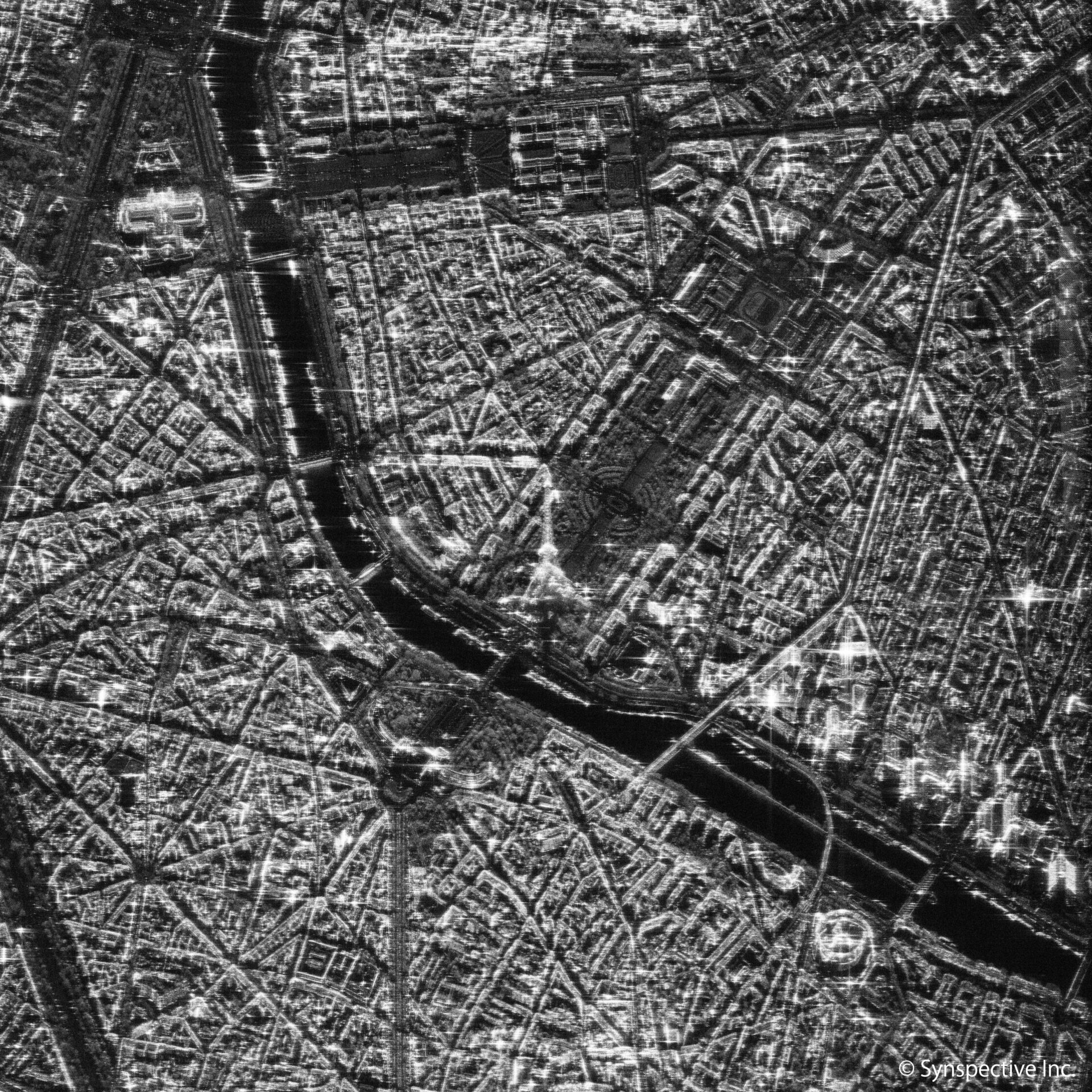
  • Synspective "StriX-α" has taken a SAR image of the Eiffel Tower

    Synspective "StriX-α" has taken a SAR image of the Eiffel Tower

    2022.01.20 Use Case

  • A Use Case of Vehicle Detection Technology using SAR Satellite Imagery

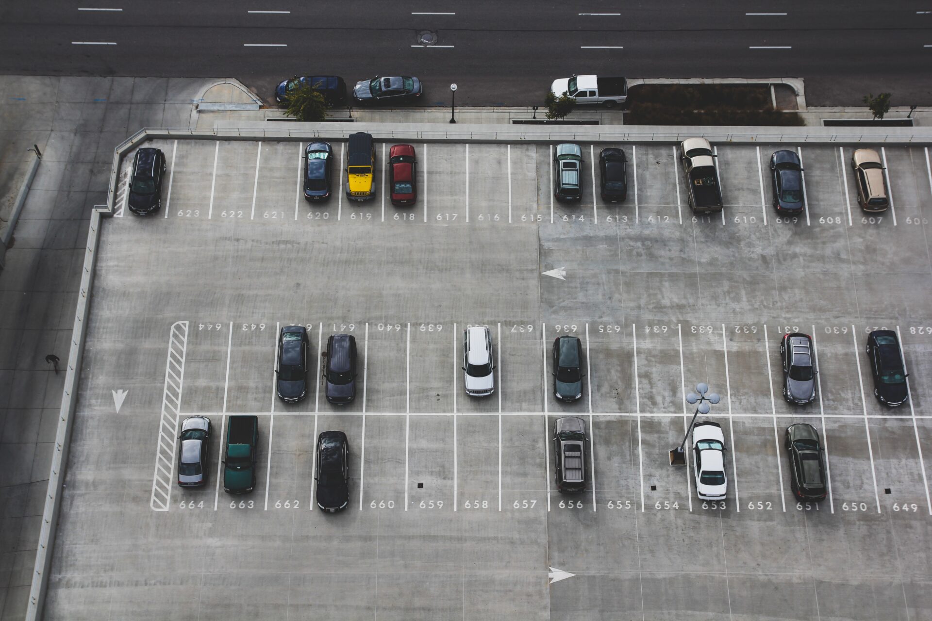
    A Use Case of Vehicle Detection Technology using SAR Satellite Imagery

    2022.01.18 Use Case

  • January 2022 Analysis of the underwater volcanic eruption in the Tonga Islands, South Pacific

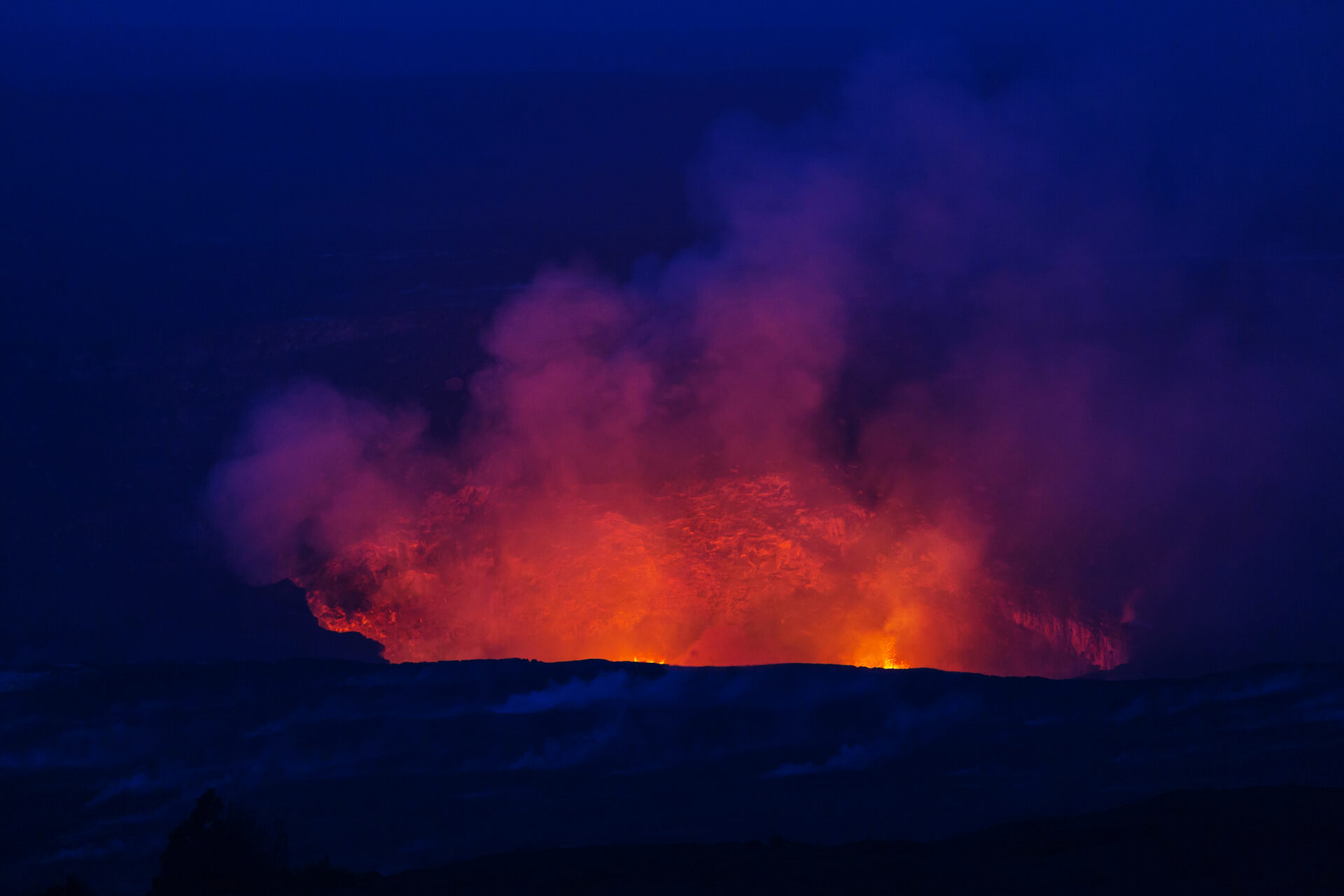
    January 2022 Analysis of the underwater volcanic eruption in the Tonga Islands, South Pacific

    2022.01.18 Use Case

  • December 2021 analysis of the damage caused by typhoon Rai in the Philippines

    December 2021 analysis of the damage caused by typhoon Rai in the Philippines

    2021.12.23 Use Case

  • Macnica and Synspective Building a Sustainable Society using Data-Driven Approaches

    Macnica and Synspective Building a Sustainable Society using Data-Driven Approaches

    2021.12.17 Press Release

  • Synspective Signs Agreement to Launch Second SAR Satellite, "StriX-β" with Rocket Lab

    Synspective Signs Agreement to Launch Second SAR Satellite, "StriX-β" with Rocket Lab

    2021.12.08 Press Release

  • JICA and Synspective detect new risks in Guatemala using SAR satellite data -The development of a disaster prevention management system makes progress-

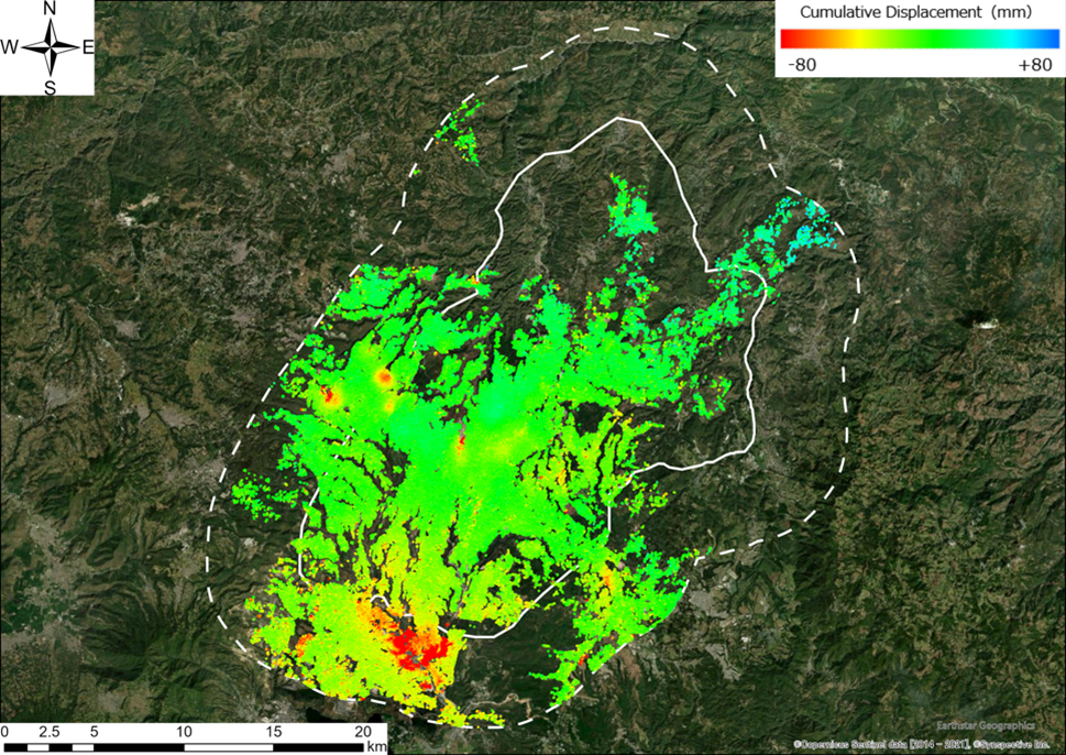
    JICA and Synspective detect new risks in Guatemala using SAR satellite data -The development of a disaster prevention management system makes progress-

    2021.12.07 Press Release

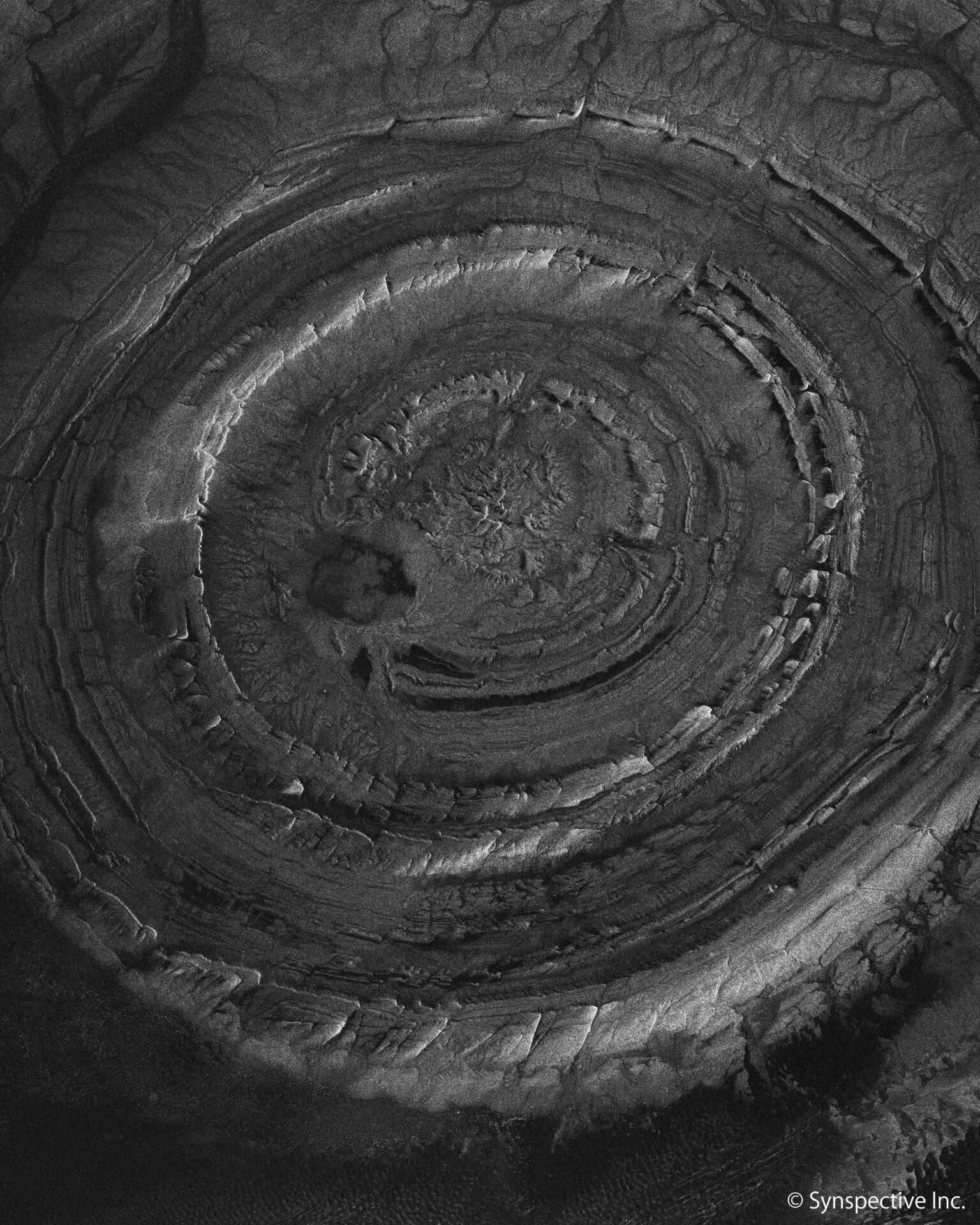
  • 08/2021 Stripmap image of the eye of the Sahara

    08/2021 Stripmap image of the eye of the Sahara

    2021.12.07 Use Case

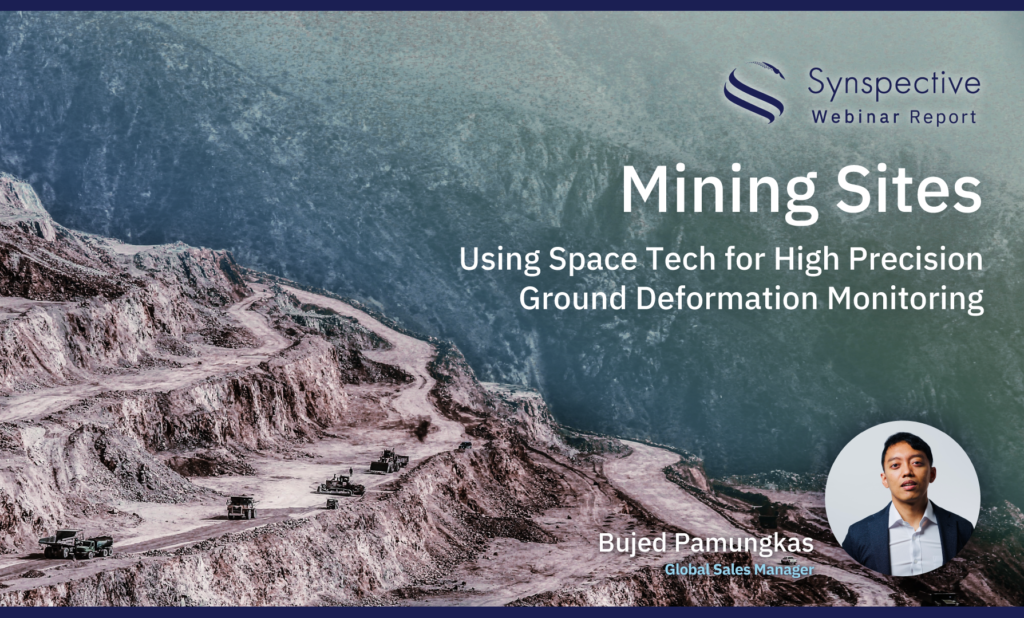
  • Synspective Webinar Report 003Mining sites, Using Space Tech for High Precision Ground Deformation Monitoring

    Synspective Webinar Report 003Mining sites, Using Space Tech for High Precision Ground Deformation Monitoring

    2021.12.01 events

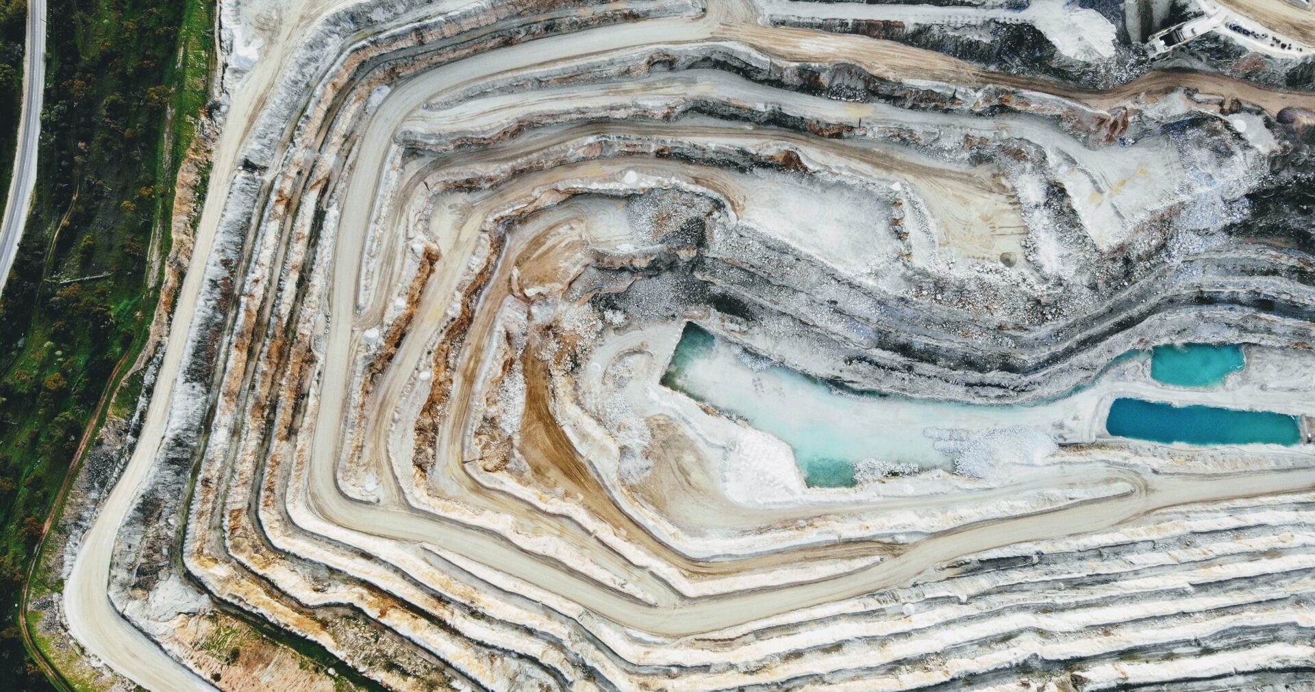
  • A Use Case of Risk Mitigation at Mines

    A Use Case of Risk Mitigation at Mines

    2021.11.30 Use Case

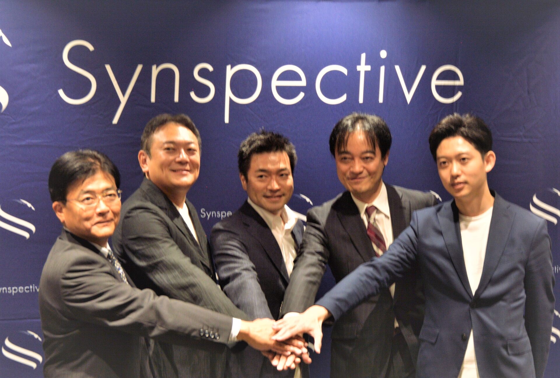
  • 3 reasons why Synspective was able to raise $100 million within a year and a half of its founding

    3 reasons why Synspective was able to raise $100 million within a year and a half of its founding

    2021.11.05 Blogs

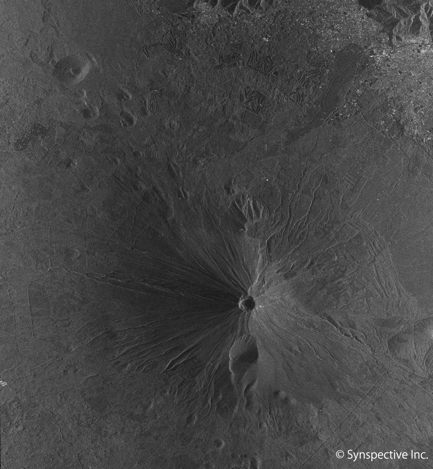
  • Synspective "StriX-α" SAR Stripmap Imagery, Mt. Fuji, a symbol of Japan

    Synspective "StriX-α" SAR Stripmap Imagery, Mt. Fuji, a symbol of Japan

    2021.11.04 Use Case

  • 1
  • …
  • 8
  • 9
  • 10
  • 11
  • 12
  • TOP
  • News
SAR Data
  • StriX Data
  • ALOS-4 Data
  • Data Platform
Solutions
  • Land Displacement Monitoring (LDM)
  • Flood Damage Assessment (FDA)
  • Disaster Damage Assessment (DDA)
  • Offshore Wind and Wave (OWW)
  • Forest Inventory Management (FIM)
  • Object Detection and Classification (ODC)
Satellite
  • More about "StriX"
  • StriX constellation
  • Launch Mission
Resources
  • Data Gallery
  • Use Cases
About Synspective
  • Company
  • Global Growth Team
  • Press Kit
News
  • Press Release
  • Information
  • Events
  • Use Cases
Careers
  • Open Positions
linkedin youtube twitter

© Synspective Inc.

  • Privacy Policy
  • Security Policy
  • Terms of Service
  • Product License Terms