Synspective
  • IR
  • About us
  • Careers
English 日本語
  • SAR Data
    • StriX Data
    • ALOS-4 Data
    • Data Platform
  • Solutions
    • Land Displacement Monitoring (LDM)
    • Flood Damage Assessment (FDA)
    • Disaster Damage Assessment (DDA)
    • Offshore Wind and Wave (OWW)
    • Forest Inventory Management (FIM)
    • Object Detection and Classification (ODC)
  • Satellite
    • More about "StriX"
    • StriX constellation
    • Launch Mission
  • Data Gallery
  • News
    • Press Release
    • Information
    • Events
    • Use Cases
Contact

News

Latest news from Synspective.
Search by year
Search by category
Search by keyword
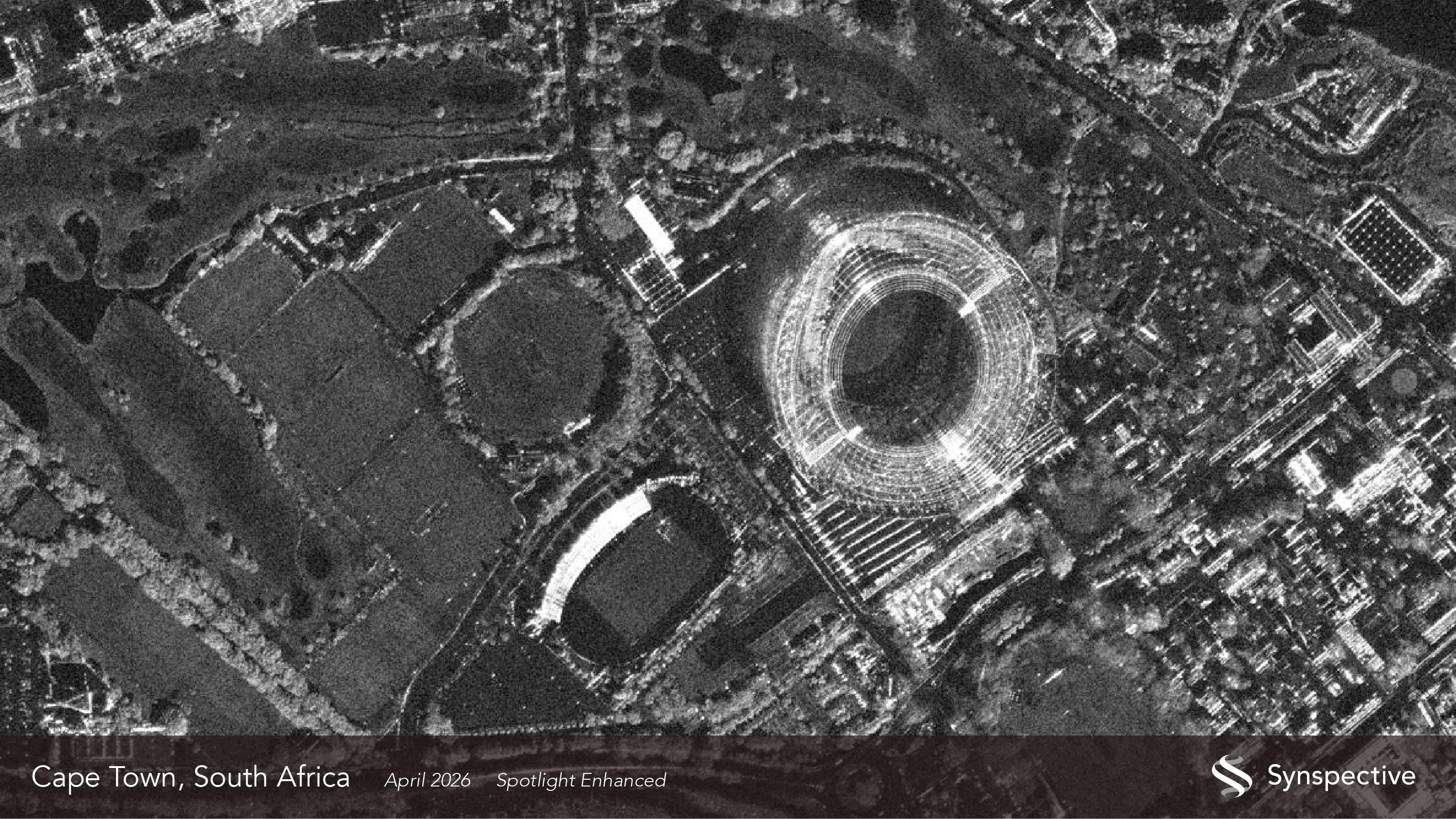
  • Wide-Area, Full-Slope Landslide Monitoring with Satellite Data2.5D Time-Series InSAR Using JAXA's ALOS-4 SAR Satellite Shows Close Agreement With On-Site Field Measurements

    Wide-Area, Full-Slope Landslide Monitoring with Satellite Data2.5D Time-Series InSAR Using JAXA's ALOS-4 SAR Satellite Shows Close Agreement With On-Site Field Measurements

    2026.06.22 Use Case

  • A SAR Satellite View of Susono's Smart City Development

    A SAR Satellite View of Susono's Smart City Development

    2026.06.18 Blogs

  • Detecting Illegal Mining in the Amazon Basin

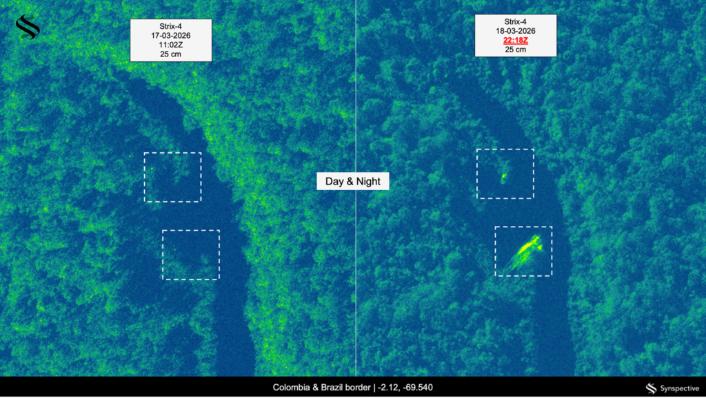
    Detecting Illegal Mining in the Amazon Basin

    2026.06.15 Use Case

  • The Latin America SAR Market

    The Latin America SAR Market

    2026.05.26 Blogs

  • Synspective Releases First Imagery from Eighth Satellite

    Synspective Releases First Imagery from Eighth Satellite

    2026.05.13 Information

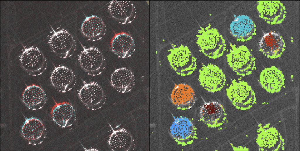
  • Centimeter-Accuracy Monitoring of Large-Displacement Infrastructure Using StriX SAR and the Pixel Offset Method

    Centimeter-Accuracy Monitoring of Large-Displacement Infrastructure Using StriX SAR and the Pixel Offset Method

    2026.05.13 Use Case

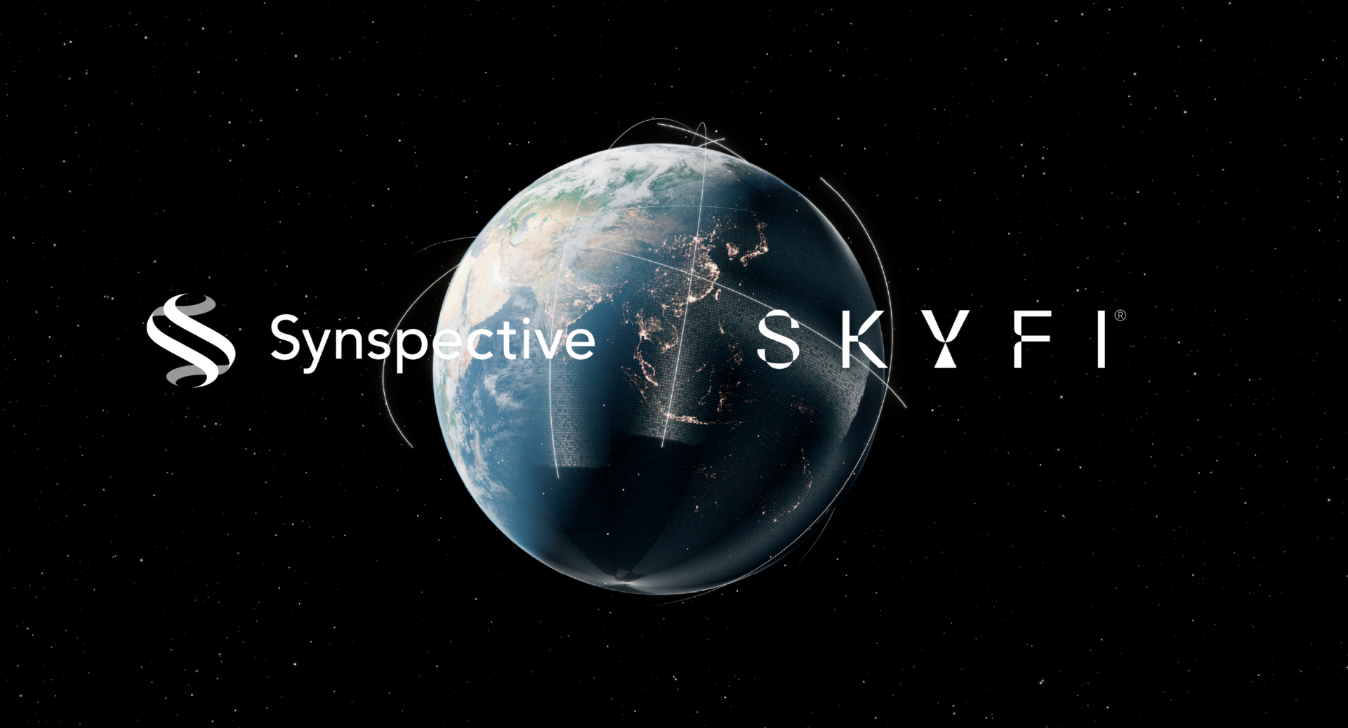
  • Synspective and SkyFi Partner to Simplify Access to High-Resolution SAR Satellite Imagery

    Synspective and SkyFi Partner to Simplify Access to High-Resolution SAR Satellite Imagery

    2026.05.12 Press Release

  • The GEOINT Symposium: Why Synspective Continues to Lead on the Global Stage

    The GEOINT Symposium: Why Synspective Continues to Lead on the Global Stage

    2026.04.28 Blogs

  • What Disaster Response Customers Need from Satellite Intelligence

    What Disaster Response Customers Need from Satellite Intelligence

    2026.04.22 Blogs

  • Disaster Resilience - Prepare, React, Recover

    Disaster Resilience - Prepare, React, Recover

    2026.03.26 Blogs

  • Synspective Signs Data Partner Agreement with NSG UP42 to Expand Data Accessibility Across Saudi Arabia

    Synspective Signs Data Partner Agreement with NSG UP42 to Expand Data Accessibility Across Saudi Arabia

    2026.03.23 Press Release

  • Synspective On-Demand Class | See Beyond the Visible for Better Decision-Making with ALOS-4

    Synspective On-Demand Class | See Beyond the Visible for Better Decision-Making with ALOS-4

    2026.03.16 events

  • 1
  • 2
  • 3
  • 4
  • …
  • 12
  • TOP
  • News
SAR Data
  • StriX Data
  • ALOS-4 Data
  • Data Platform
Solutions
  • Land Displacement Monitoring (LDM)
  • Flood Damage Assessment (FDA)
  • Disaster Damage Assessment (DDA)
  • Offshore Wind and Wave (OWW)
  • Forest Inventory Management (FIM)
  • Object Detection and Classification (ODC)
Satellite
  • More about "StriX"
  • StriX constellation
  • Launch Mission
Resources
  • Data Gallery
  • Use Cases
About Synspective
  • Company
  • Global Growth Team
  • Press Kit
News
  • Press Release
  • Information
  • Events
  • Use Cases
Careers
  • Open Positions
linkedin youtube twitter

© Synspective Inc.

  • Privacy Policy
  • Security Policy
  • Terms of Service
  • Product License Terms