News
-

Synspective On-Demand Class | How to Utilize SAR data: An Introduction to Visualization with QGIS
2025.02.12 events
-
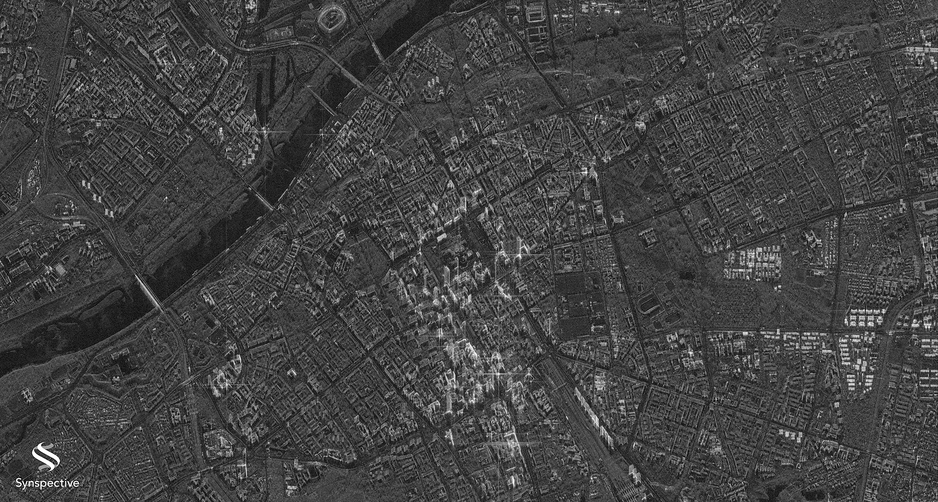
Synspective Releases First Imagery with Sixth Satellite
2025.02.12 Information
-
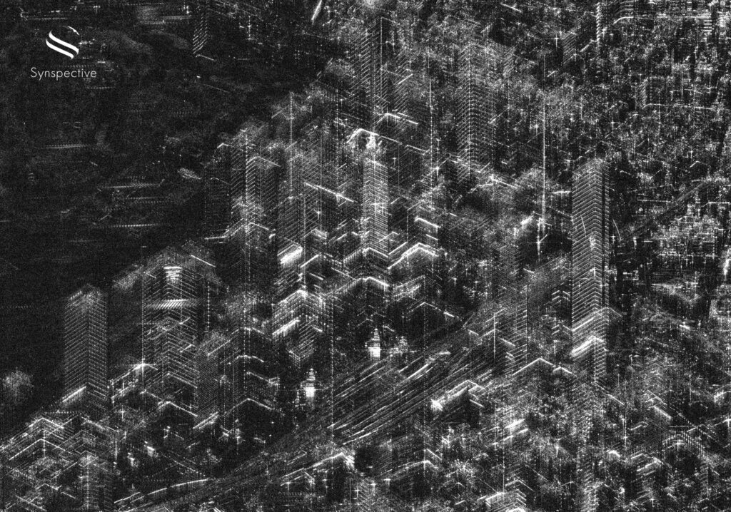
Synspective Acquires One of Japan's Highest-Resolution Images in Two SAR Observation Modes
2024.11.05 Press Release
-
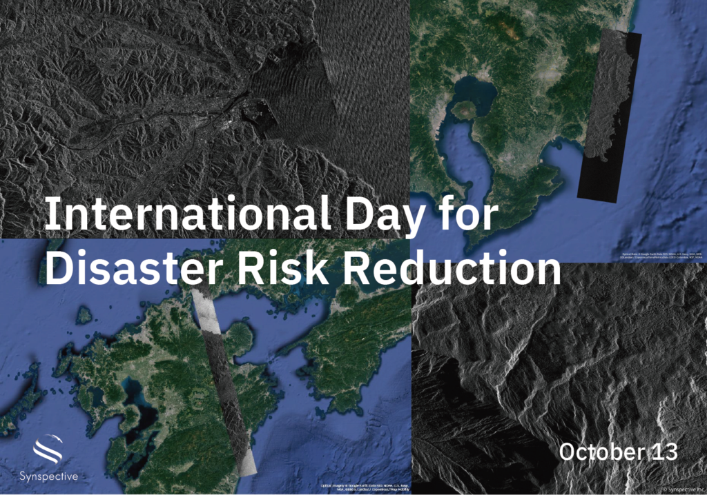
Disaster-related Observation with StriX
2024.10.13 Use Case
-
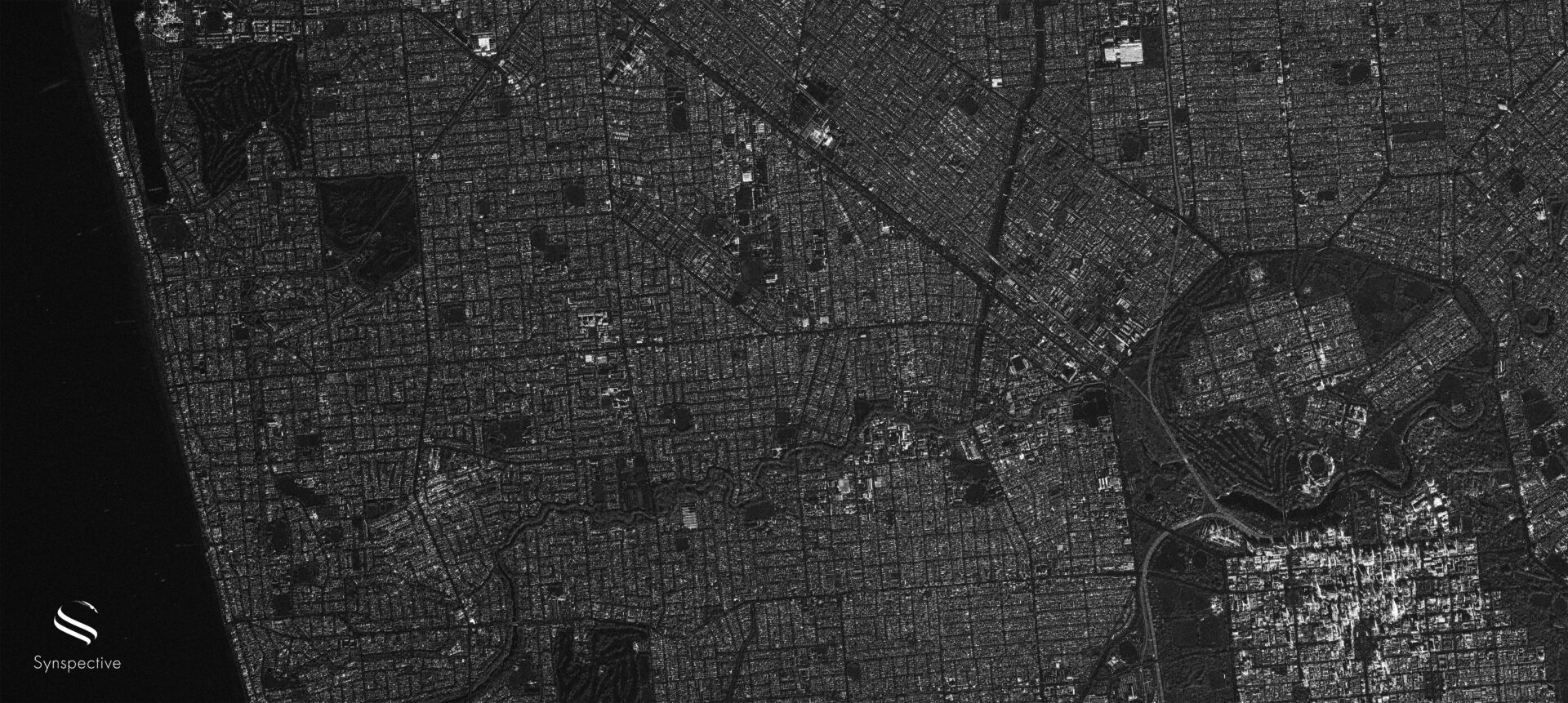
Synspective Releases First Imagery with Fifth Satellite
2024.09.30 Information
-
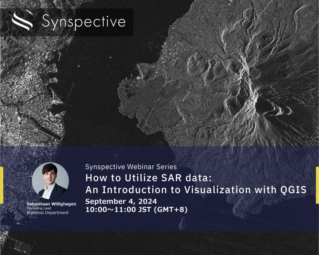
How to Utilize SAR data:An Introduction to Visualization with QGIS
2024.08.21 events
-

Synspective’s Fifth SAR Satellite Successfully Reaches its Target Orbit and Spreads its Wings
2024.08.03 Press Release
-
Notice regarding the Launch Schedule for our next StriX Satellite
2024.07.25 Press Release
-

Synspective Succeeds in Acquiring Japan's Highest Resolution 25cm SAR image
2024.07.09 Press Release
-
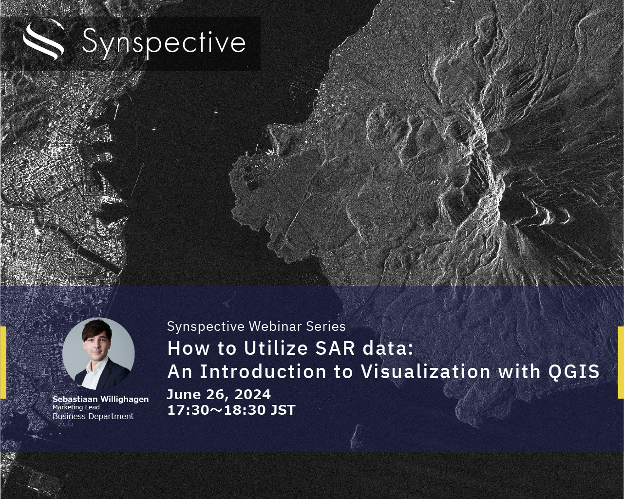
How to Utilize SAR data:An Introduction to Visualization with QGIS
2024.06.19 events
-
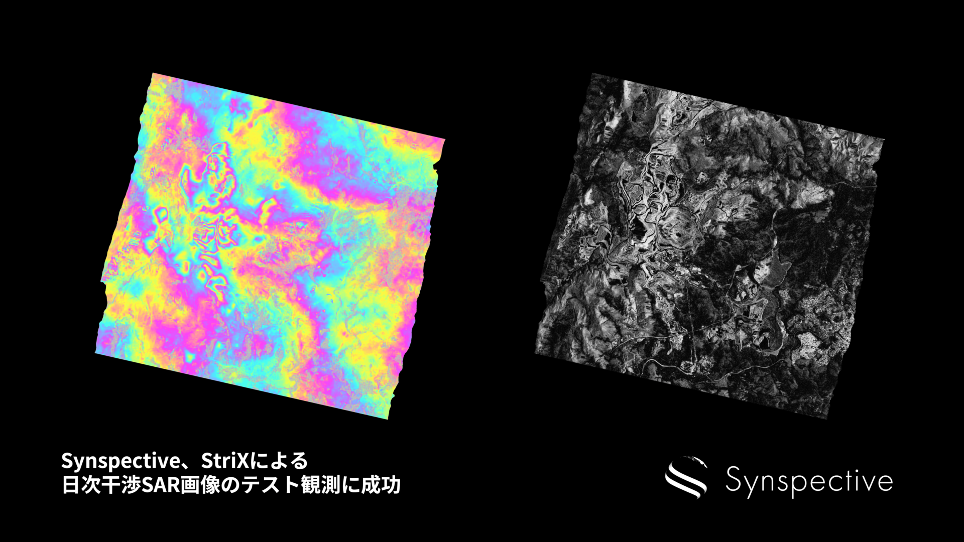
Synspective Succeeds in Test Observation of Daily InSAR Images
2024.06.06 Press Release
-
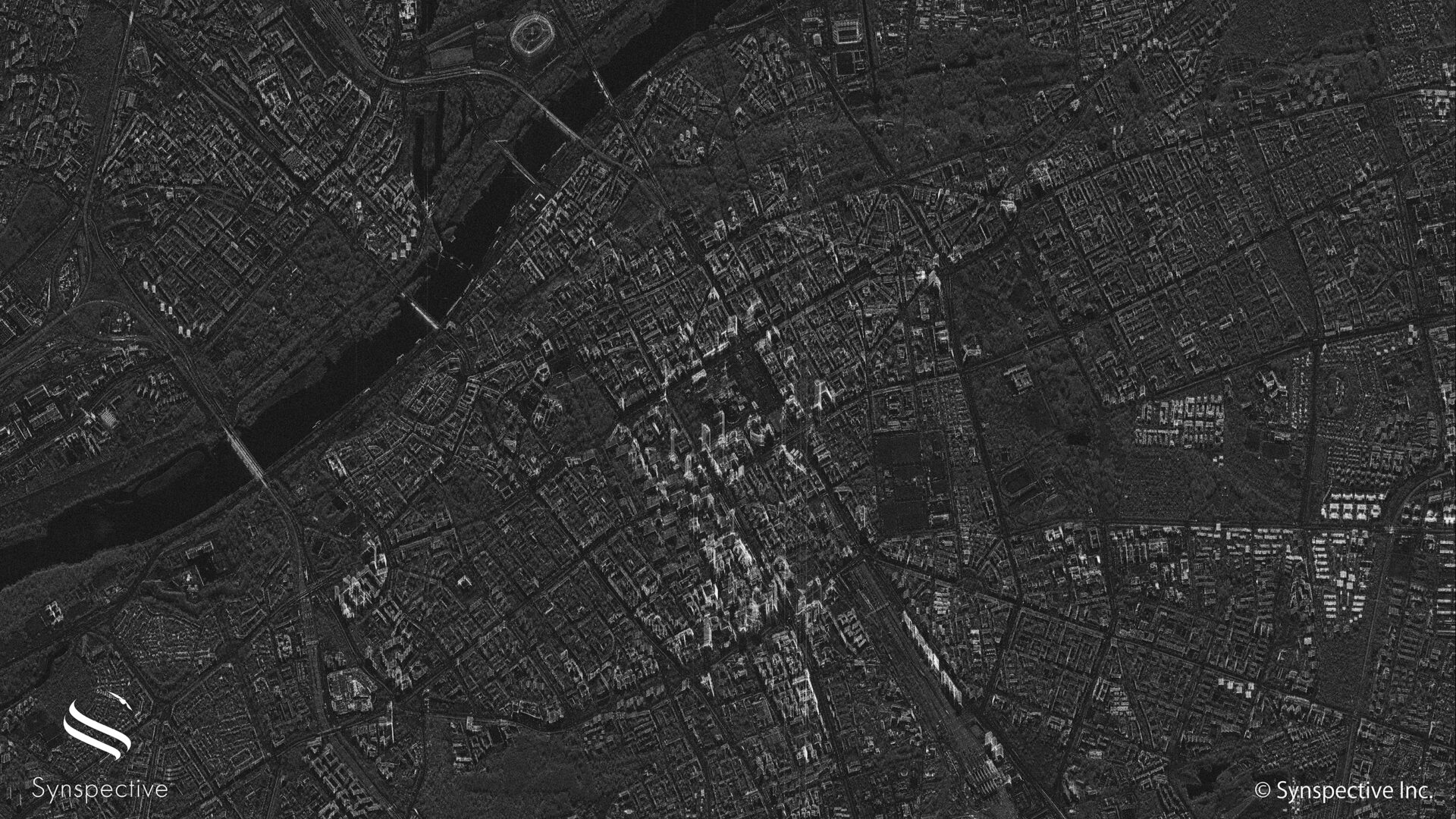
Synspective Releases First Imagery with StriX-3 Satellite
2024.04.25 Information