News
-
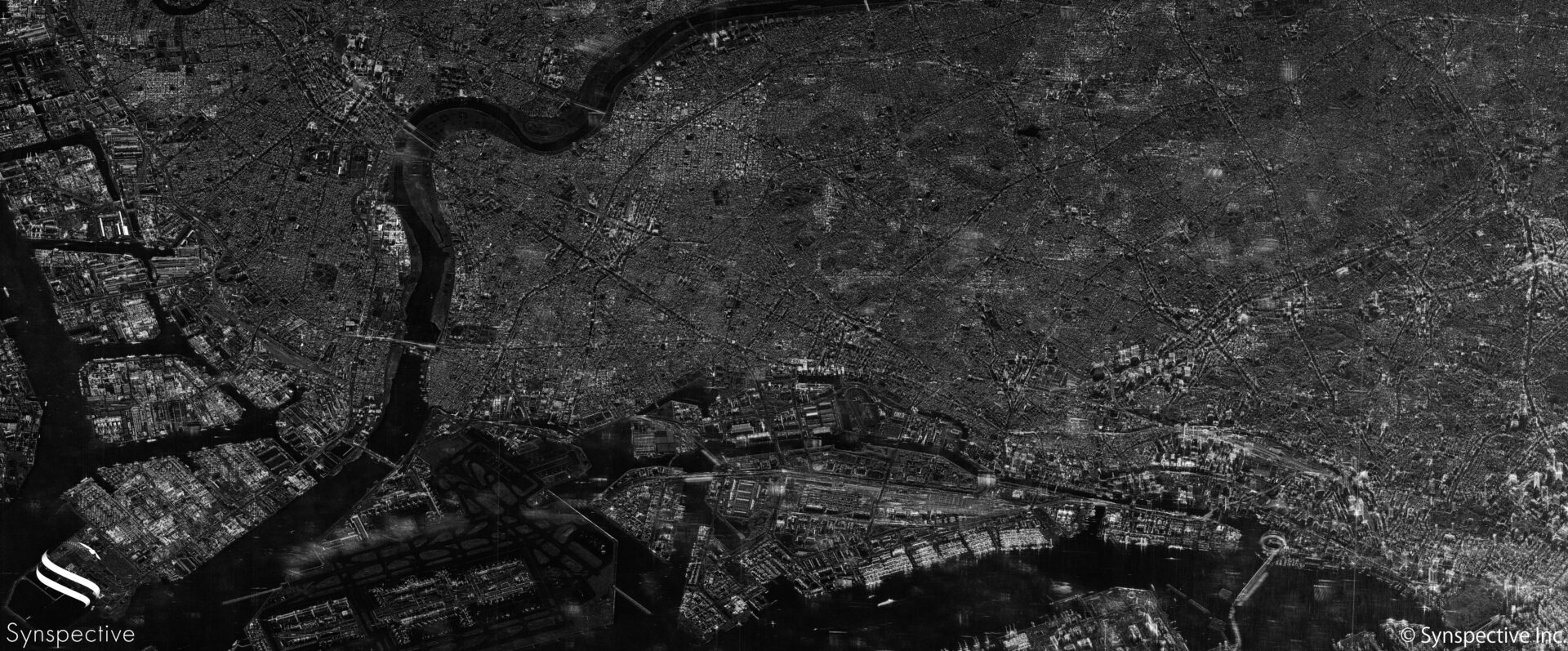
Synspective enters into contract for "demonstration project for expanding the use of small SAR satellite constellations" led by the Cabinet Office
2022.04.12 Press Release
-
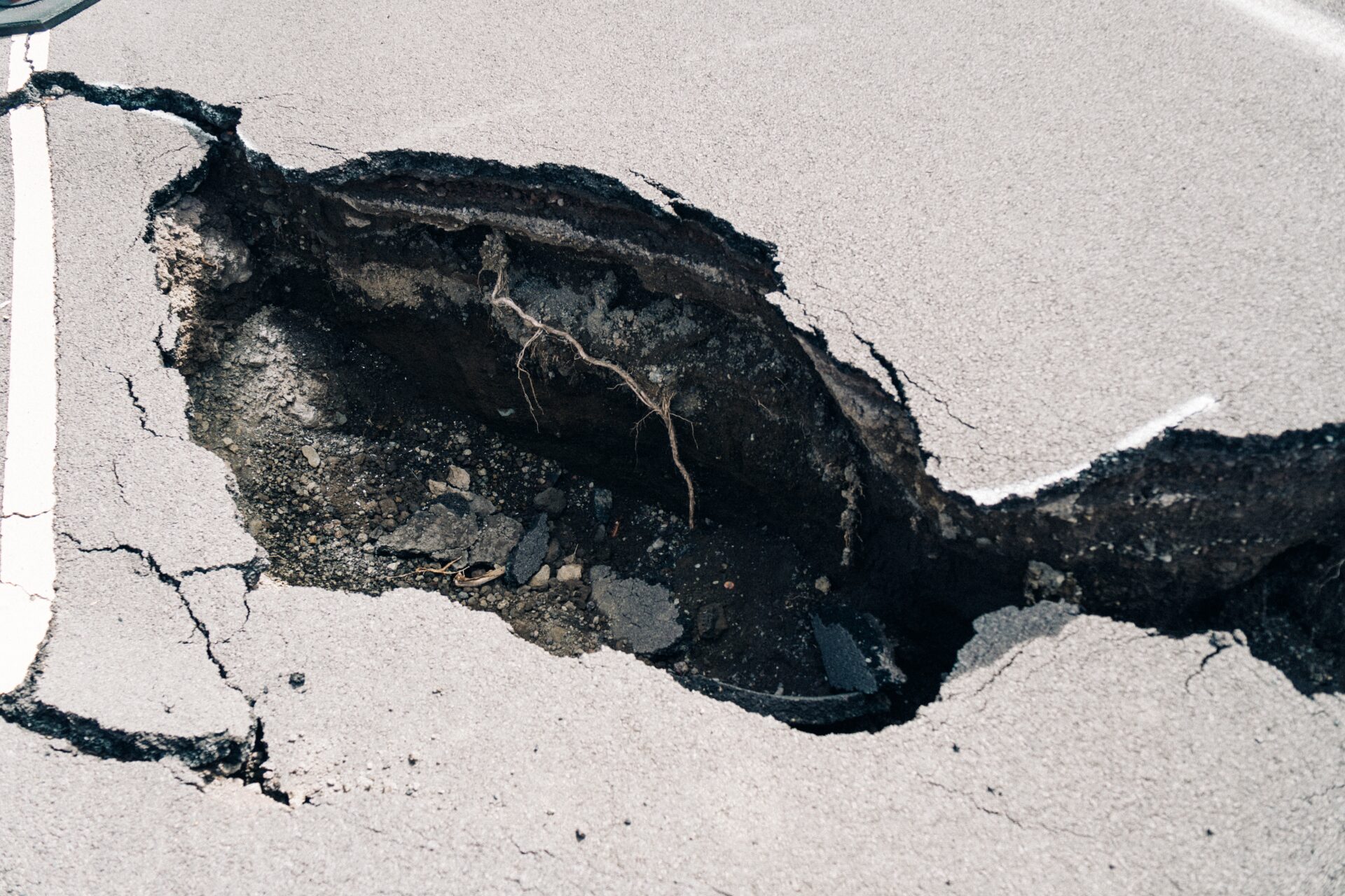
A Use Case of Subsidence Detection
2022.04.12 Use Case
-
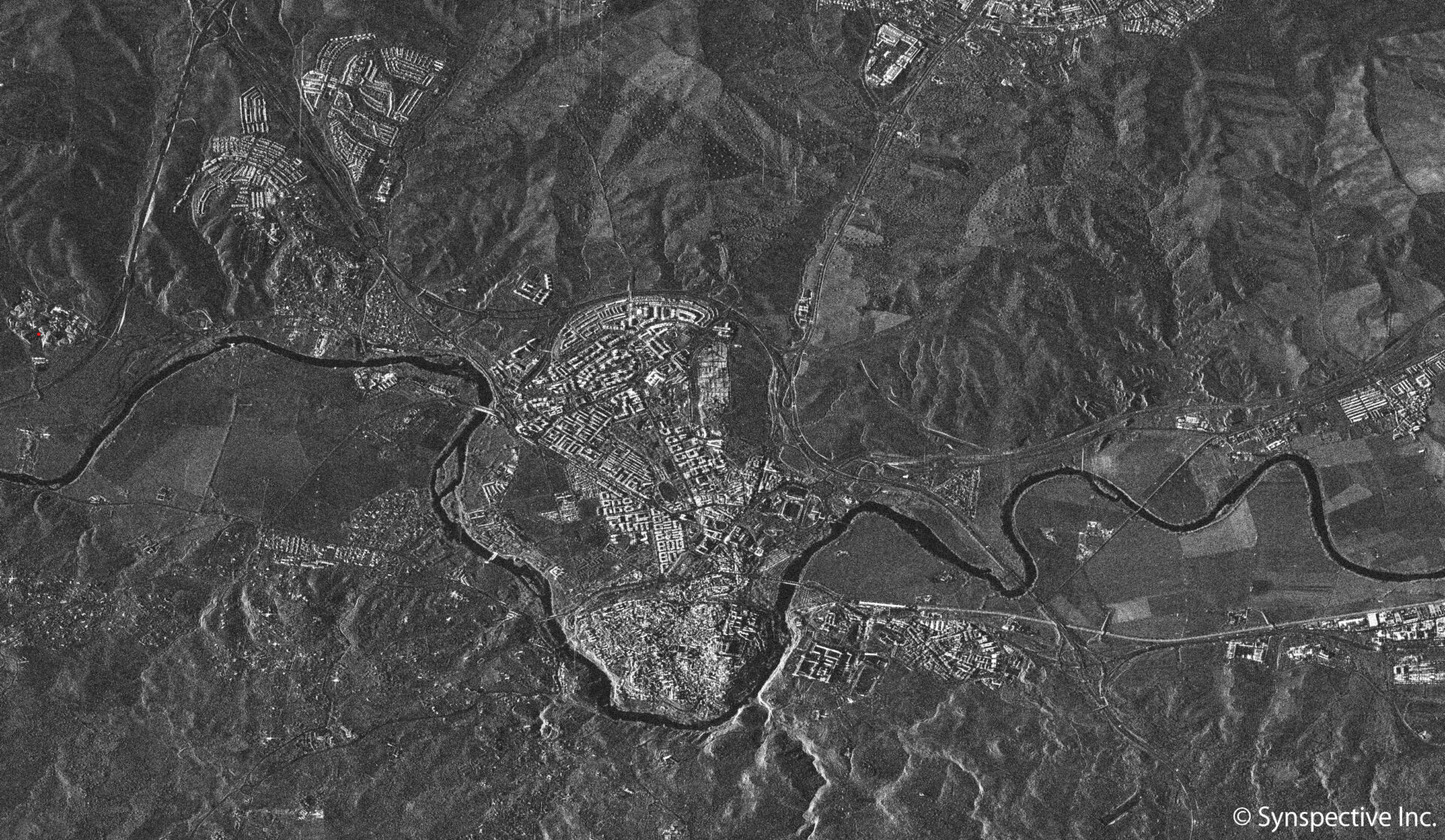
Synspective’s "StriX-α" has taken a SAR Stripmap image of Toledo, Spain
2022.04.04 Use Case
-

Japanese Space Industry Startup “Synspective”RaisesUS $100 Million in Funding
2022.03.29 Press Release
-

Update of Fukuoka City LDM(Land Displacement Monitoring) Trial PJExpectation to "New Infrastructure Monitoring Advancements"with Synspective"s StriX satellite
2022.03.16 Press Release
-
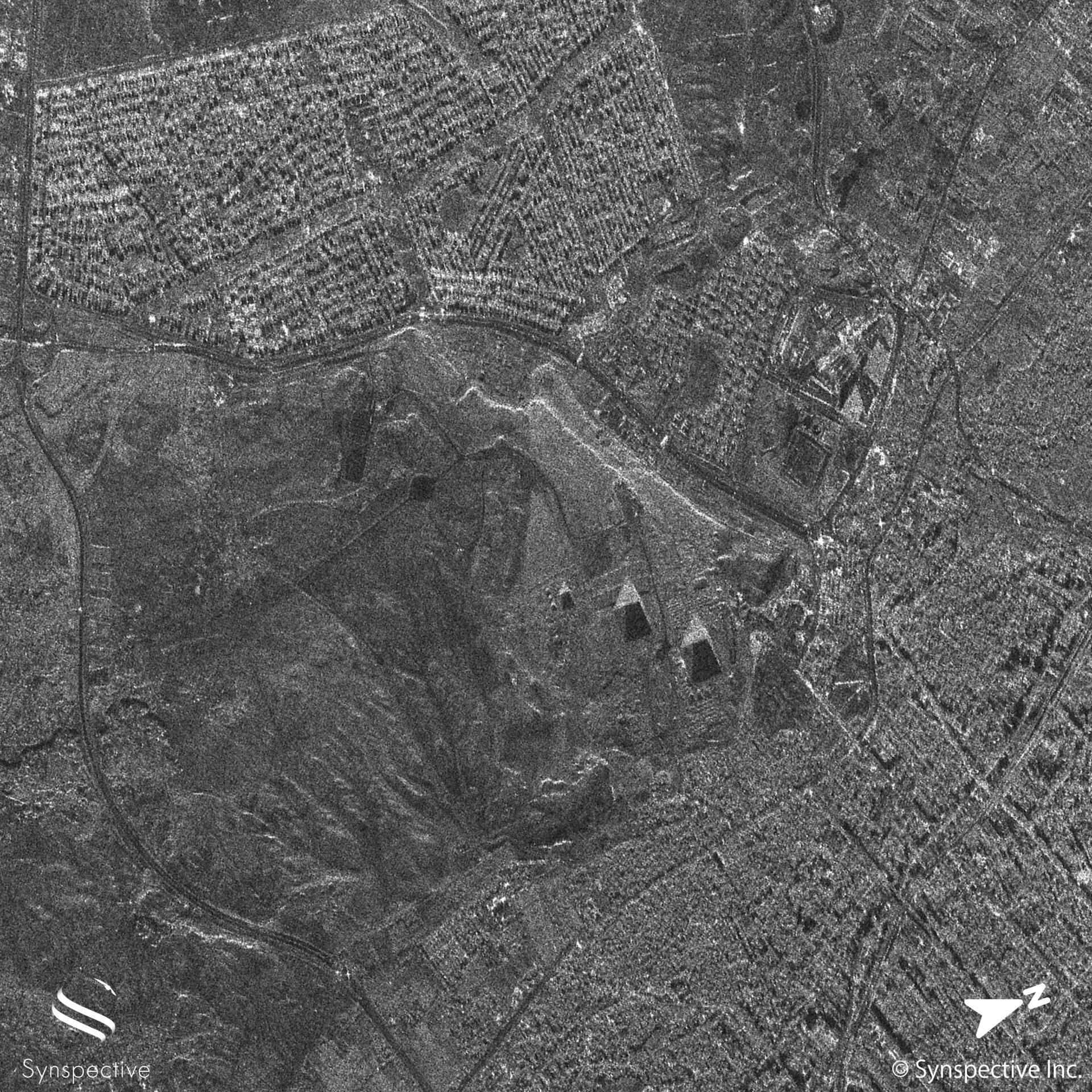
Synspective’s "StriX-α" has taken a SAR Stripmap image of the Pyramids of Giza
2022.03.14 Use Case
-

Use Case of Offshore Wind Speed Measurement with SAR Imagery
2022.03.14 Use Case
-
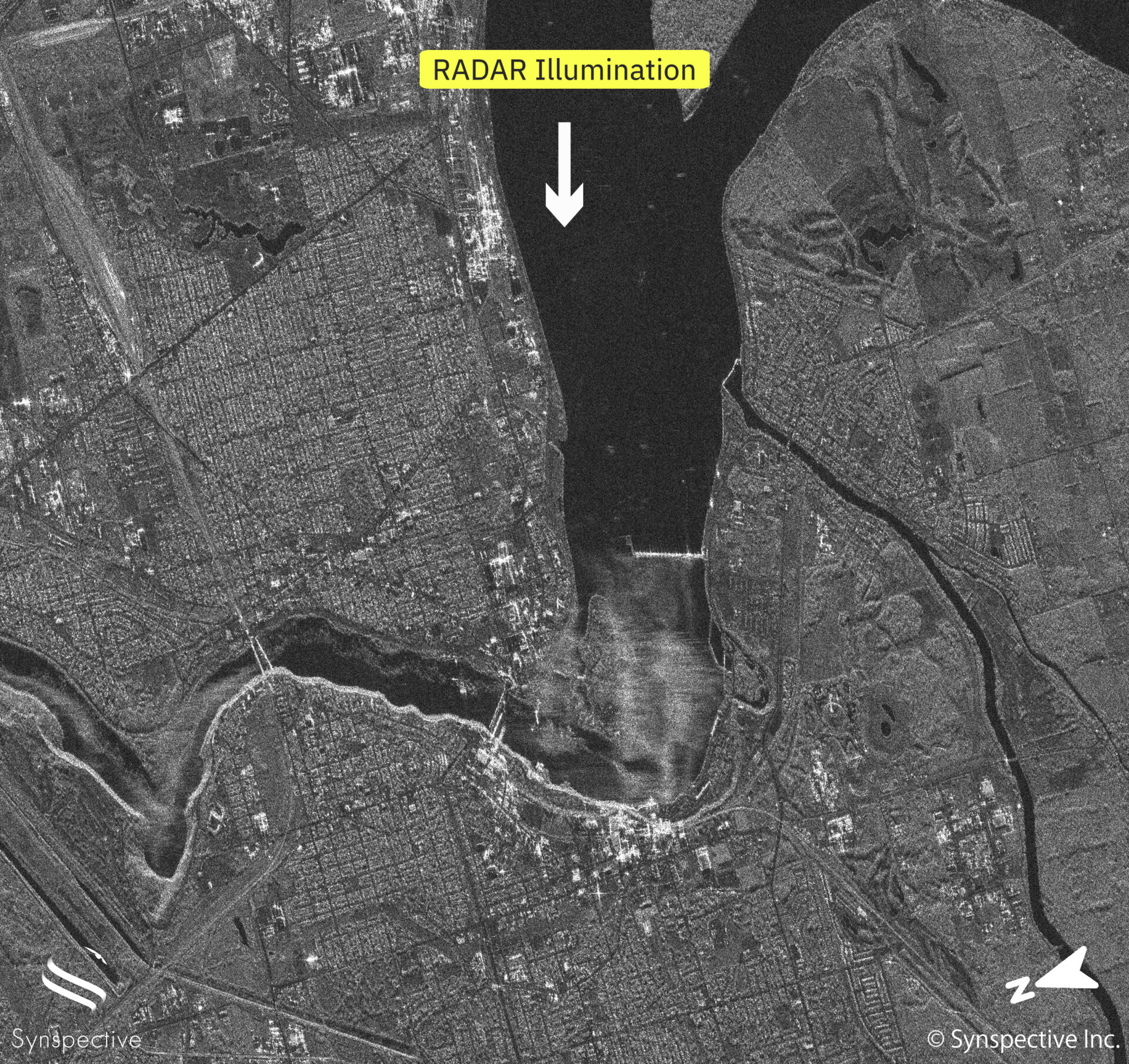
Synspective’s "StriX-α" has taken a SAR Stripmap image of the Niagara Falls
2022.02.22 Use Case
-
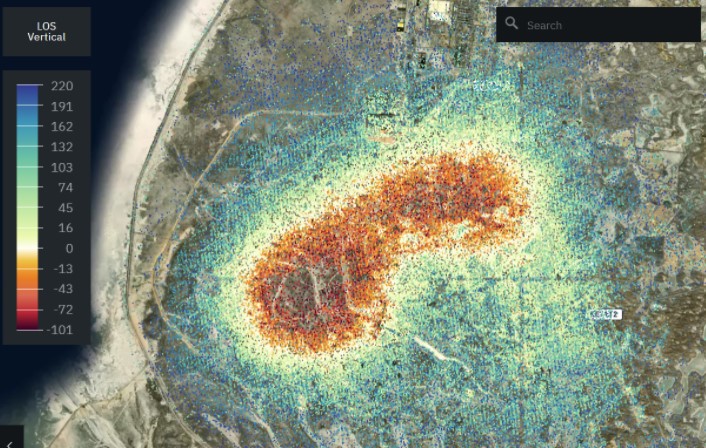
A Use Case of Oilfield Monitoring
2022.02.14 Use Case
-
Notice regarding launch schedule for ourSecond SAR Satellite “StriX-β”
2022.02.10 Press Release
-
The Owl’s Night Begins - December 15th, 2020:Launch of our first satellite, StriX-α -
2022.02.04 Blogs
-

AMH Philippines and Synspective sign MoUfor Strategic Alliance to use SAR Datafor Geohazard Mitigation Projects in the Philippines
2022.01.25 Press Release