News
-
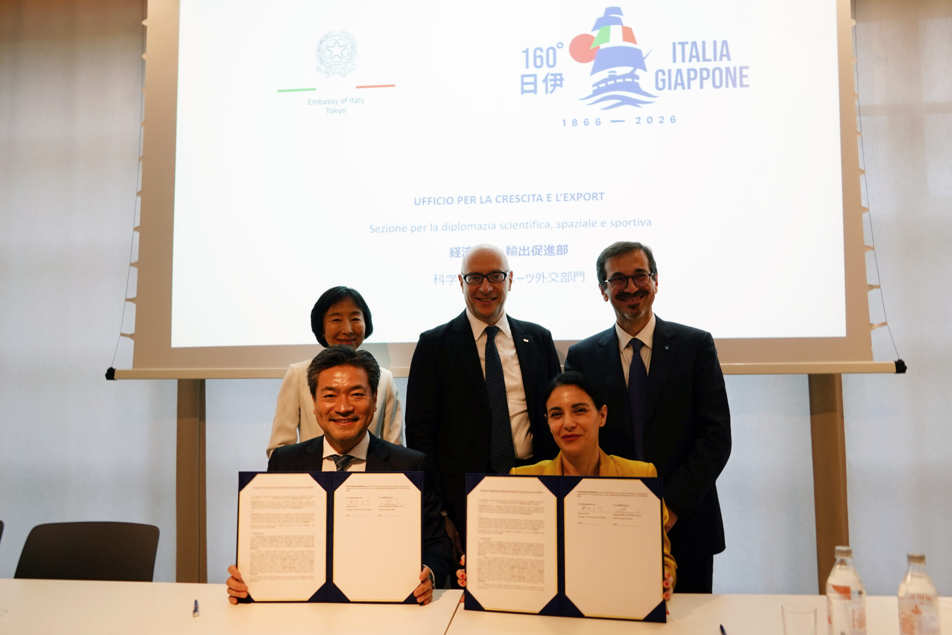
Synspective and e-GEOS Announce Strategic Partnership to Advance Next-Generation Geospatial Intelligence Solutions
2026.05.28 Press Release
-
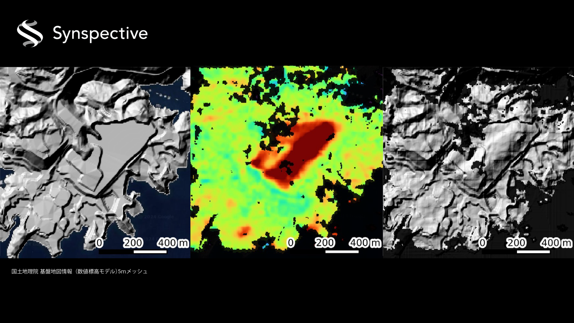
What is Synspective's InSAR dDEM Technology?
2025.08.19 Blogs
-
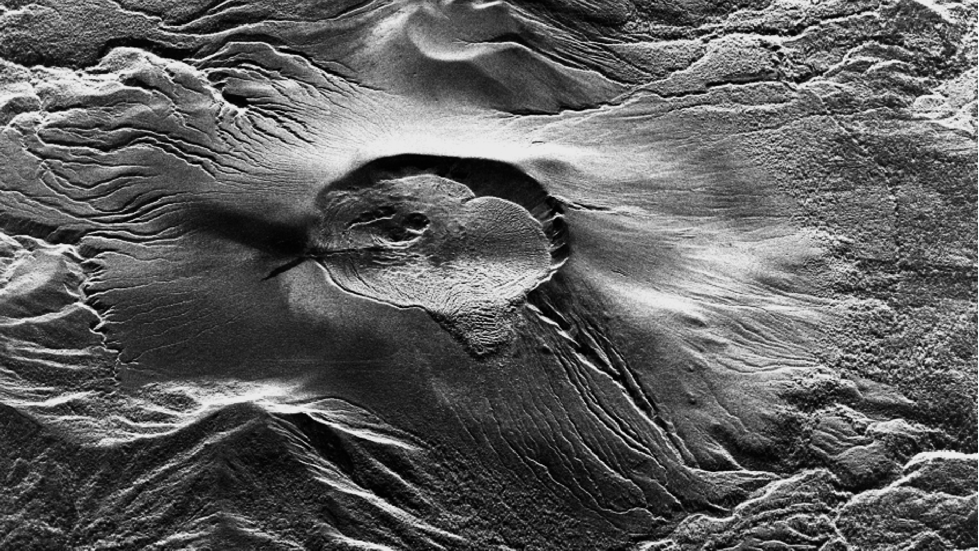
High-Frequency, High-Resolution Observation of Shinmoedake's Renewed Activity Using the StriX SAR Satellite
2025.07.04 Use Case
-
Using SAR data analysis to identify affected areas from the 2024 Noto Peninsula Earthquake
2024.01.22 Use Case
-
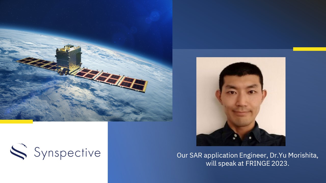
Synspective will speak at FRINGE 2023
2023.08.30 Information
-
Daily radar imaging across Australia –Geoimage signs partnership with Synspective
2022.10.25 Press Release
-
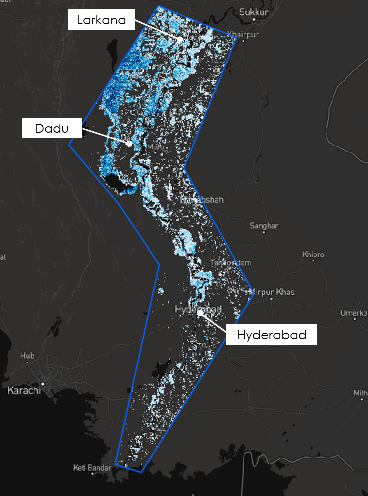
September 2022Analysis of Heavy Flooding in Pakistan
2022.09.13 Use Case
-
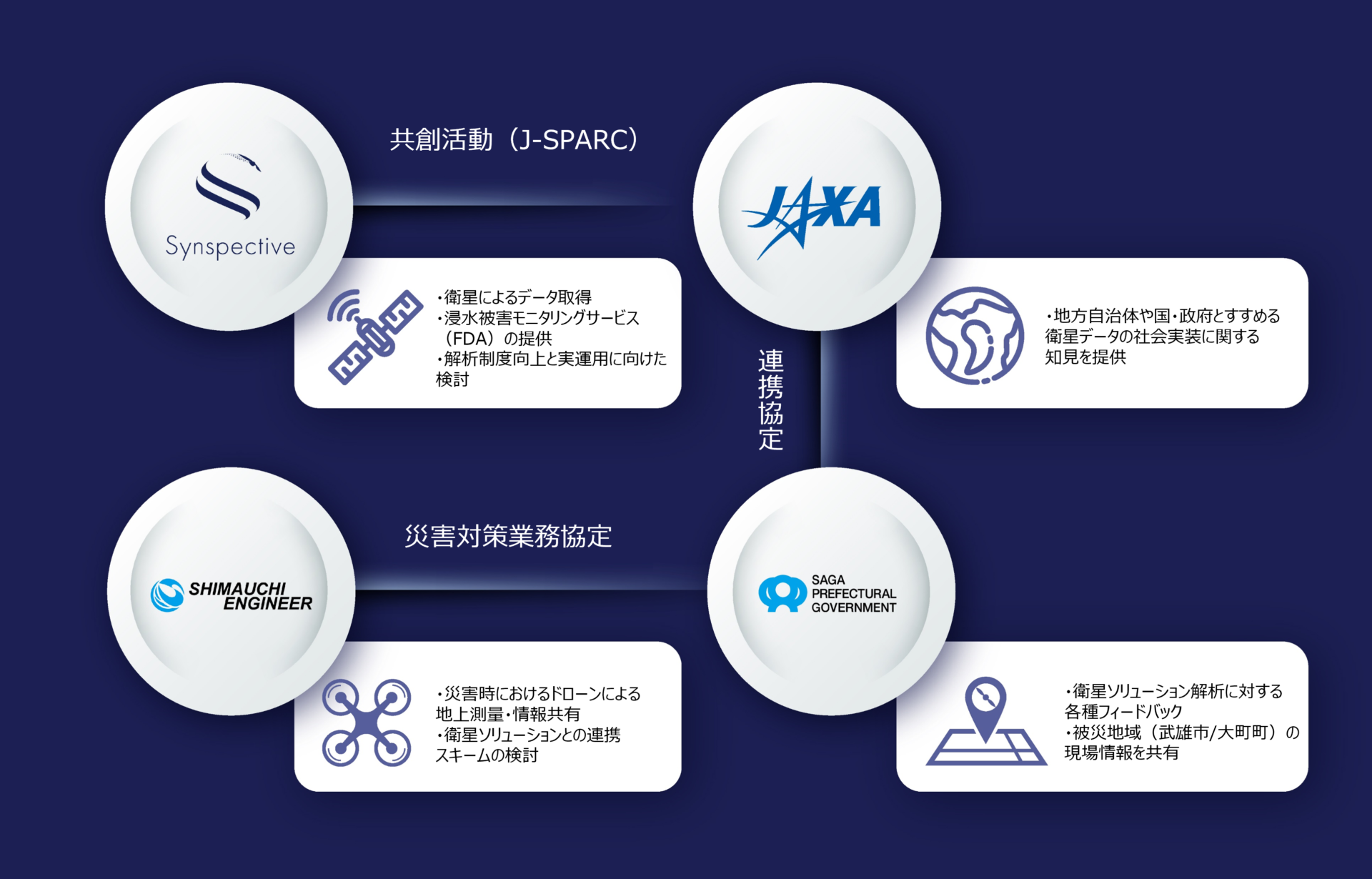
Joint Demonstrations Targeting Heavy Rain Disasters in Saga Prefecture aiming for Satellite Data Use for Disaster Mitigation in Local Governments
2022.05.24 Press Release
-
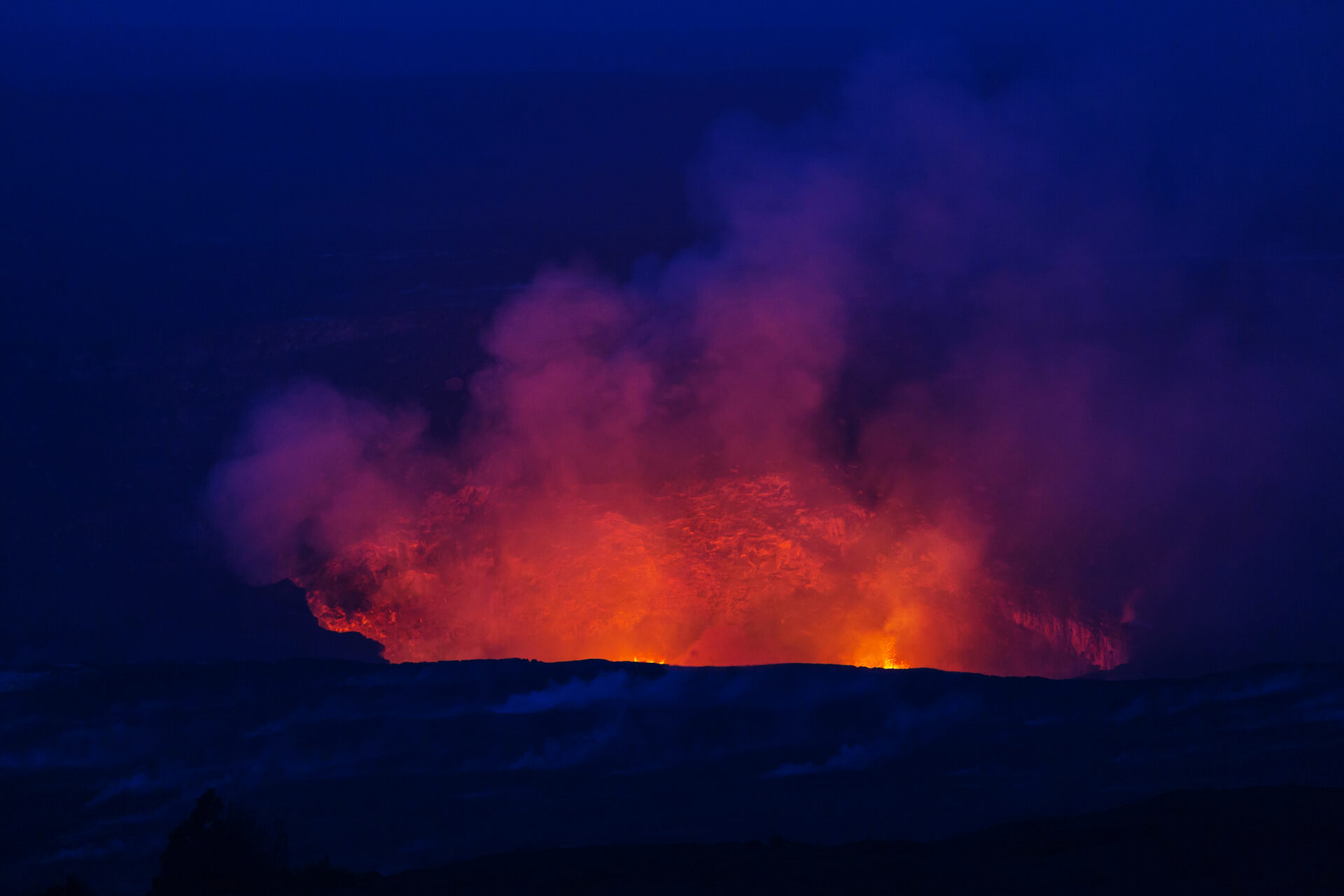
January 2022 Analysis of the underwater volcanic eruption in the Tonga Islands, South Pacific
2022.01.18 Use Case
-
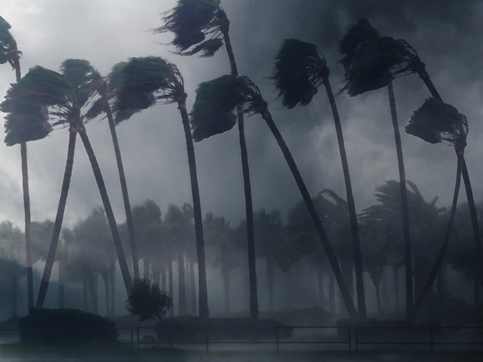
December 2021 analysis of the damage caused by typhoon Rai in the Philippines
2021.12.23 Use Case
-
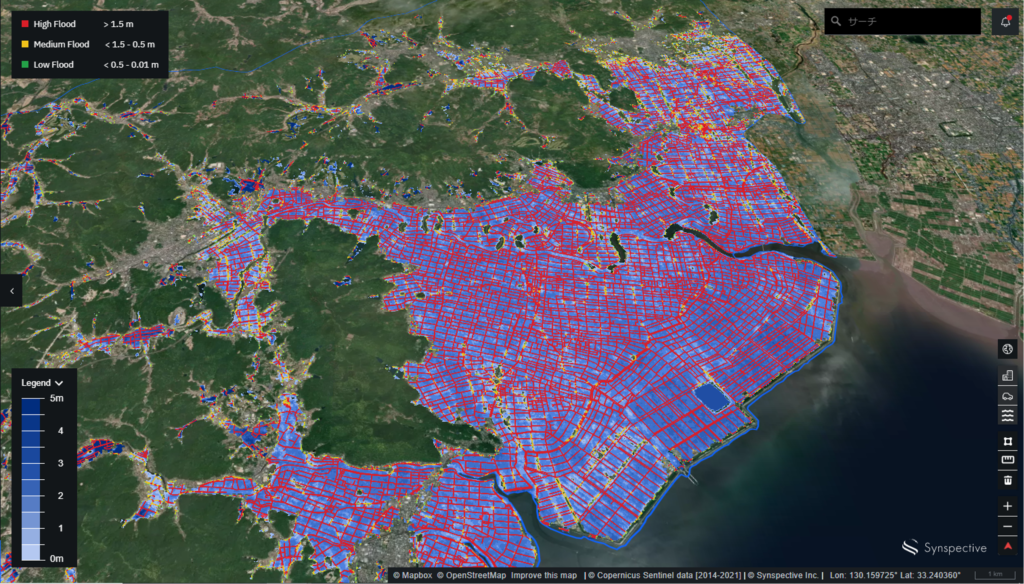
Analyzing the flood damage from the Rokkaku River in Saga Prefecture (Kyushu).
2021.08.19 Use Case
-
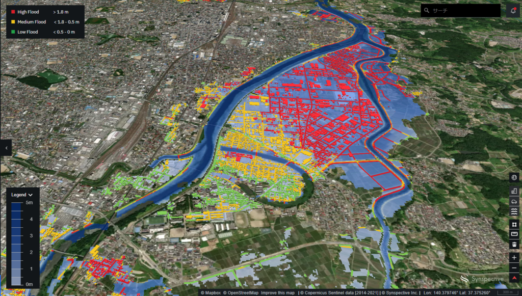
Analysing the Abukuma River Flood (2019) with Flood Damage Assessment
2020.12.11 Use Case