Synspective
  • IR
  • About us
  • Careers
English 日本語
  • SAR Data
    • StriX Data
    • ALOS-4 Data
    • Data Platform
  • Solutions
    • Land Displacement Monitoring (LDM)
    • Flood Damage Assessment (FDA)
    • Disaster Damage Assessment (DDA)
    • Offshore Wind and Wave (OWW)
    • Forest Inventory Management (FIM)
    • Object Detection and Classification (ODC)
  • Satellite
    • More about "StriX"
    • StriX constellation
    • Launch Mission
  • Data Gallery
  • News
    • Press Release
    • Information
    • Events
    • Use Cases
Contact

News

Latest news from Synspective.
Search by year
Search by category
Search by keyword
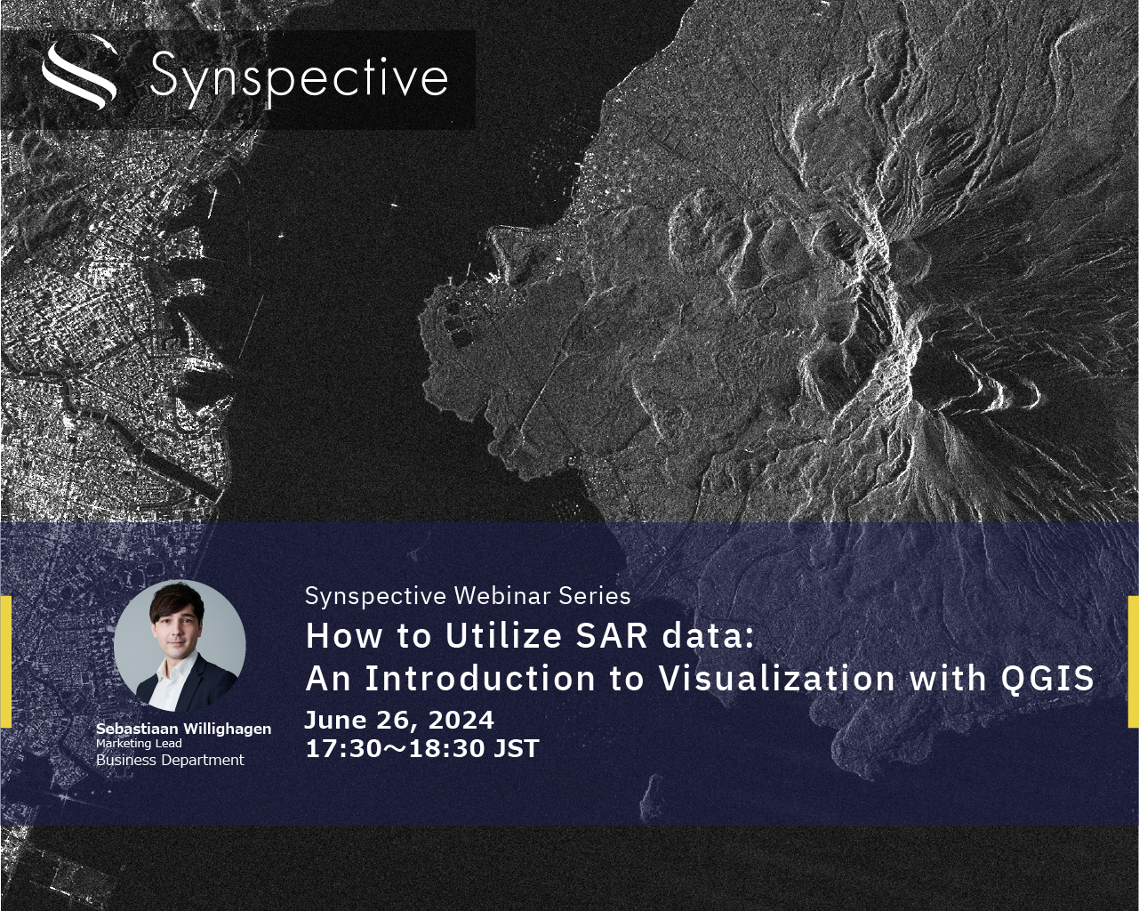
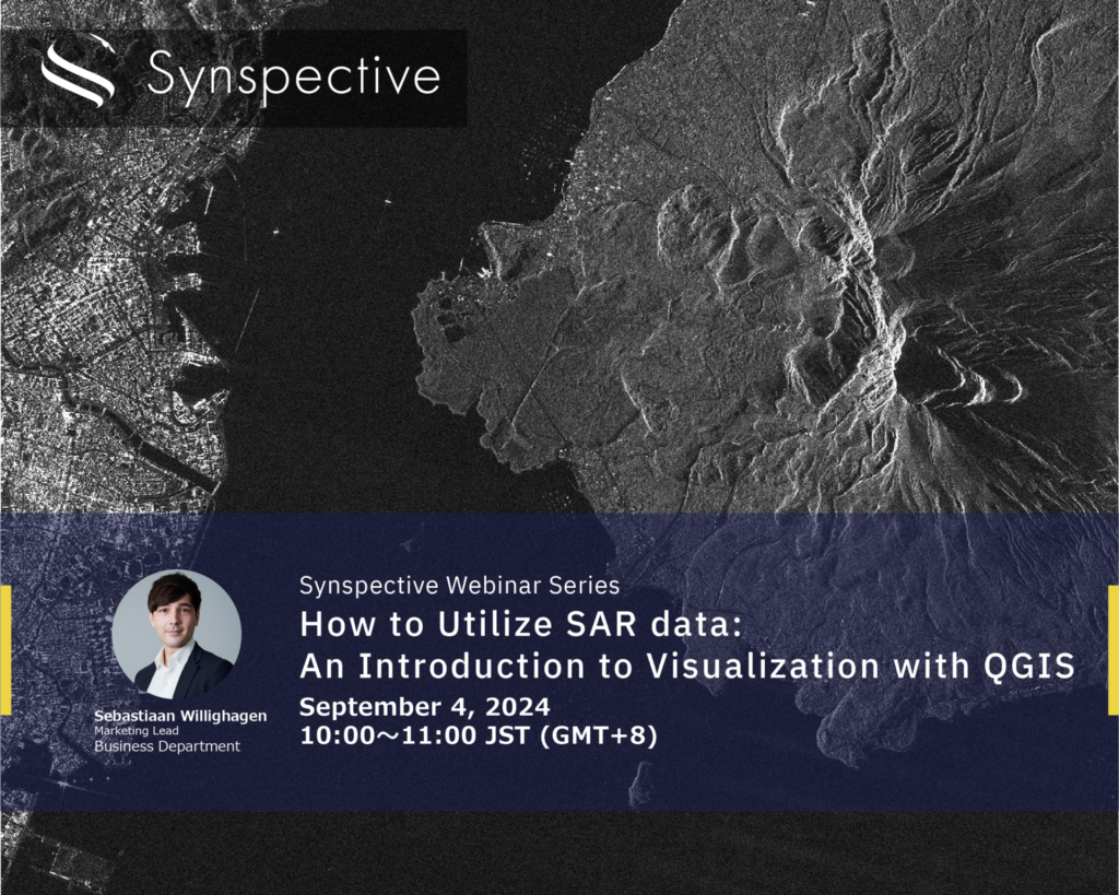
  • How to Utilize SAR data:An Introduction to Visualization with QGIS

    How to Utilize SAR data:An Introduction to Visualization with QGIS

    2024.08.21 events

  • Synspective Wins 2024 Japan-US Innovation Awards

    Synspective Wins 2024 Japan-US Innovation Awards

    2024.07.01 Awards

  • How to Utilize SAR data:An Introduction to Visualization with QGIS

    How to Utilize SAR data:An Introduction to Visualization with QGIS

    2024.06.19 events

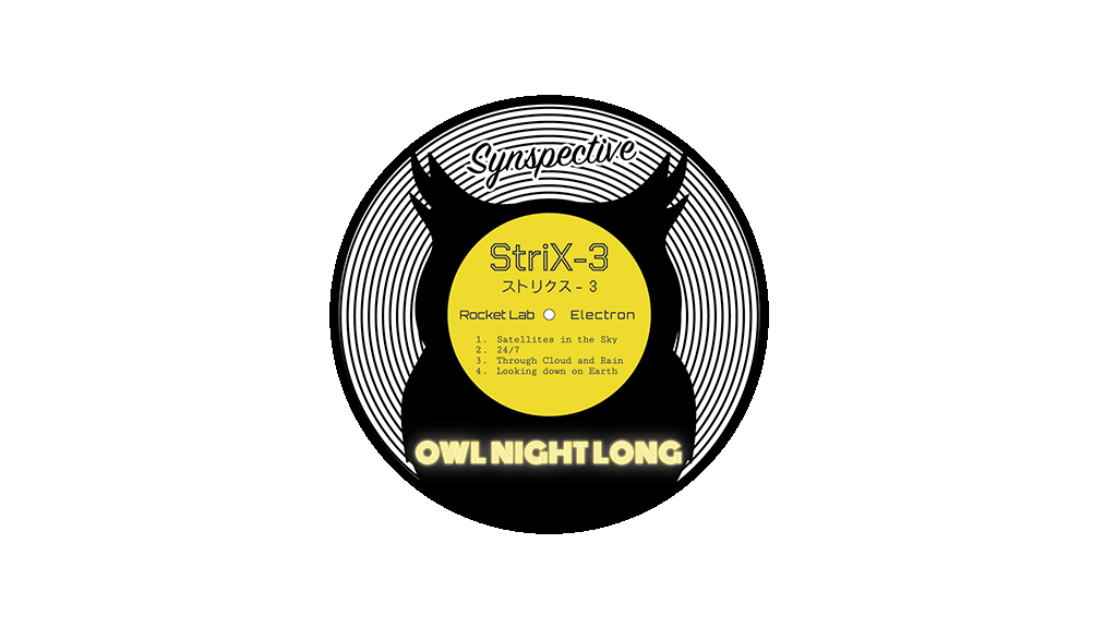
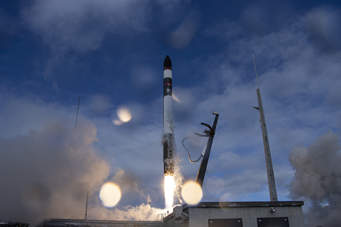
  • Notice regarding the Launch Schedule for our SAR Satellite “StriX-3”

    Notice regarding the Launch Schedule for our SAR Satellite “StriX-3”

    2024.02.21 Press Release

  • Interview with Masaharu Iiyoshi

    Interview with Masaharu Iiyoshi

    2024.02.19 Blogs

  • How to Utilize SAR data:An Introduction to Visualization with QGIS

    How to Utilize SAR data:An Introduction to Visualization with QGIS

    2024.02.08 events

  • Synspective is selected for "Global Top 100 Geospatial Companies – 2024 Edition"

    Synspective is selected for "Global Top 100 Geospatial Companies – 2024 Edition"

    2024.02.06 Awards

  • InSAR Analysis Partnership:Enhance Your Geospatial Analytics and Generate New Insights for Your Customers

    InSAR Analysis Partnership:Enhance Your Geospatial Analytics and Generate New Insights for Your Customers

    2024.01.09 Information

  • Synspective Completes Mission with its First Demonstrator, StriX- α

    Synspective Completes Mission with its First Demonstrator, StriX- α

    2023.10.31 Information

  • The Sinking of JoshimathHow InSAR Can Help Monitor and Mitigate Large City Areas

    The Sinking of JoshimathHow InSAR Can Help Monitor and Mitigate Large City Areas

    2023.08.04 Use Case

  • Synspective Signs Another Multi-Launch Contract with Rocket Lab to Advance its Constellation Plan

    Synspective Signs Another Multi-Launch Contract with Rocket Lab to Advance its Constellation Plan

    2023.07.14 Press Release

  • InSAR Analysis Partnership:Enhance Your Geospatial Analytics and Generate New Insights for Your Customers

    InSAR Analysis Partnership:Enhance Your Geospatial Analytics and Generate New Insights for Your Customers

    2023.03.31 Use Case

  • 1
  • 2
  • 3
  • 4
  • 5
  • TOP
  • News
SAR Data
  • StriX Data
  • ALOS-4 Data
  • Data Platform
Solutions
  • Land Displacement Monitoring (LDM)
  • Flood Damage Assessment (FDA)
  • Disaster Damage Assessment (DDA)
  • Offshore Wind and Wave (OWW)
  • Forest Inventory Management (FIM)
  • Object Detection and Classification (ODC)
Satellite
  • More about "StriX"
  • StriX constellation
  • Launch Mission
Resources
  • Data Gallery
  • Use Cases
About Synspective
  • Company
  • Global Growth Team
  • Press Kit
News
  • Press Release
  • Information
  • Events
  • Use Cases
Careers
  • Open Positions
linkedin youtube twitter

© Synspective Inc.

  • Privacy Policy
  • Security Policy
  • Terms of Service
  • Product License Terms