Synspective
  • IR
  • About us
  • Careers
English 日本語
  • SAR Data
    • StriX Data
    • ALOS-4 Data
    • Data Platform
  • Solutions
    • Land Displacement Monitoring (LDM)
    • Flood Damage Assessment (FDA)
    • Disaster Damage Assessment (DDA)
    • Offshore Wind and Wave (OWW)
    • Forest Inventory Management (FIM)
    • Object Detection and Classification (ODC)
  • Satellite
    • More about "StriX"
    • StriX constellation
    • Launch Mission
  • Data Gallery
  • News
    • Press Release
    • Information
    • Events
    • Use Cases
Contact

News

Latest news from Synspective.
Search by year
Search by category
Search by keyword
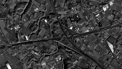
  • Narita's Highway Junction and Farmland in Spotlight Enhanced

    Narita's Highway Junction and Farmland in Spotlight Enhanced

    2026.09.28 Blogs

  • Synspective and e-GEOS Announce Strategic Partnership to Advance Next-Generation Geospatial Intelligence Solutions

    Synspective and e-GEOS Announce Strategic Partnership to Advance Next-Generation Geospatial Intelligence Solutions

    2026.05.28 Press Release

  • Synspective Signs Data Partner Agreement with NSG UP42 to Expand Data Accessibility Across Saudi Arabia

    Synspective Signs Data Partner Agreement with NSG UP42 to Expand Data Accessibility Across Saudi Arabia

    2026.03.23 Press Release

  • Advanced Satellite Data and Monitoring to Transform Disaster Response and Environmental Monitoring in Southeast Asia

    Advanced Satellite Data and Monitoring to Transform Disaster Response and Environmental Monitoring in Southeast Asia

    2023.05.02 Press Release

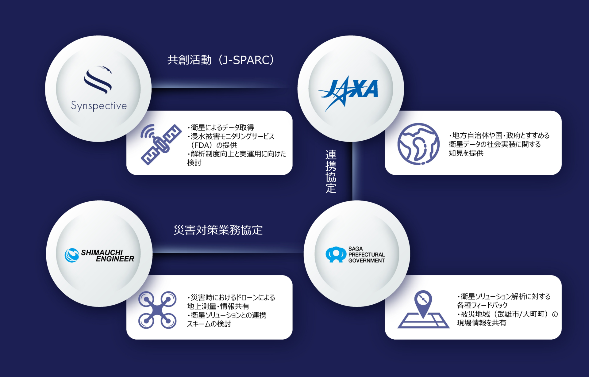
  • Joint Demonstrations Targeting Heavy Rain Disasters in Saga Prefecture aiming for Satellite Data Use for Disaster Mitigation in Local Governments

    Joint Demonstrations Targeting Heavy Rain Disasters in Saga Prefecture aiming for Satellite Data Use for Disaster Mitigation in Local Governments

    2022.05.24 Press Release

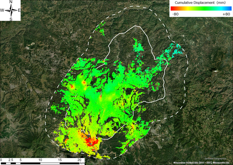
  • JICA and Synspective detect new risks in Guatemala using SAR satellite data -The development of a disaster prevention management system makes progress-

    JICA and Synspective detect new risks in Guatemala using SAR satellite data -The development of a disaster prevention management system makes progress-

    2021.12.07 Press Release

  • JICA and Synspective start demonstration for the development of a disaster prevention management system in Guatemala using SAR satellite data

    JICA and Synspective start demonstration for the development of a disaster prevention management system in Guatemala using SAR satellite data

    2021.10.07 Press Release

  • TOP
  • News
SAR Data
  • StriX Data
  • ALOS-4 Data
  • Data Platform
Solutions
  • Land Displacement Monitoring (LDM)
  • Flood Damage Assessment (FDA)
  • Disaster Damage Assessment (DDA)
  • Offshore Wind and Wave (OWW)
  • Forest Inventory Management (FIM)
  • Object Detection and Classification (ODC)
Satellite
  • More about "StriX"
  • StriX constellation
  • Launch Mission
Resources
  • Data Gallery
  • Use Cases
About Synspective
  • Company
  • Global Growth Team
  • Press Kit
News
  • Press Release
  • Information
  • Events
  • Use Cases
Careers
  • Open Positions
linkedin youtube twitter

© Synspective Inc.

  • Privacy Policy
  • Security Policy
  • Terms of Service
  • Product License Terms