News
-
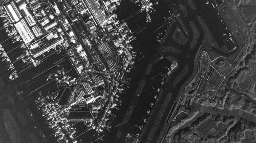
Narita International Airport in Spotlight Enhanced
2026.09.30 Blogs
-
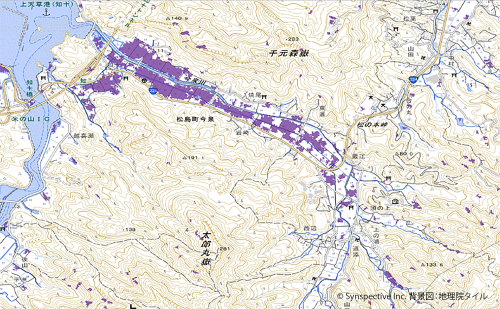
Synspective and Spectee Develop Higher-Precision Flood Extent Estimation Method Combining Satellite Imagery and Social Media Data
2026.08.12 Press Release
-
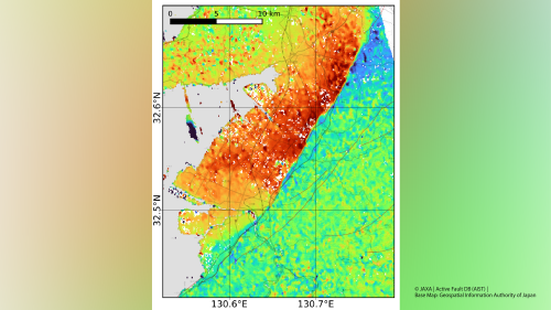
The 2026 Kumamoto Earthquake: InSAR and Pixel-Offset Analysis of ALOS-2 Data — Up to Approximately 1 m of Displacement Detected Along the Hinagu Fault Zone
2026.07.31 Information
-
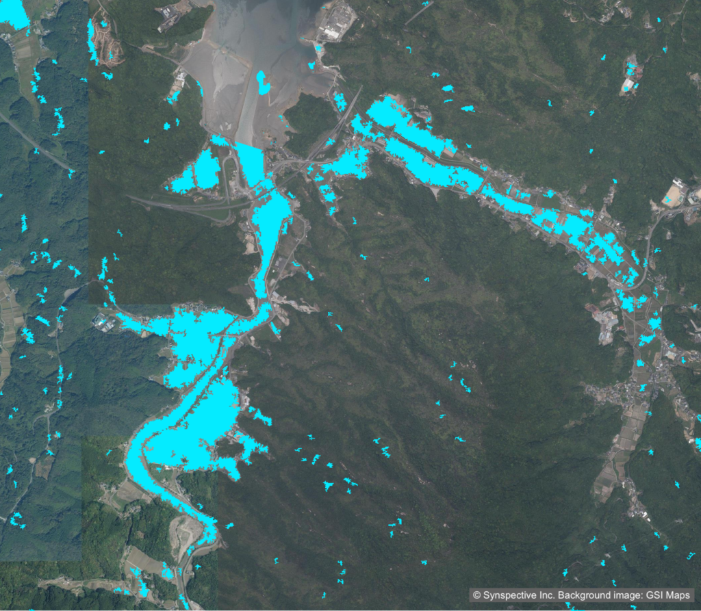
Rapid Disaster Assessment from Space Using the StriX SAR Satellite
2026.07.09 Use Case
-

Wide-Area, Full-Slope Landslide Monitoring with Satellite Data2.5D Time-Series InSAR Using JAXA's ALOS-4 SAR Satellite Shows Close Agreement With On-Site Field Measurements
2026.06.22 Use Case
-
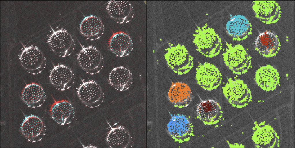
Centimeter-Accuracy Monitoring of Large-Displacement Infrastructure Using StriX SAR and the Pixel Offset Method
2026.05.13 Use Case
-

The GEOINT Symposium: Why Synspective Continues to Lead on the Global Stage
2026.04.28 Blogs
-

Synspective and GMO Cybersecurity by Ierae Begins Joint Research on Satellite Cybersecurity
2025.12.08 Press Release
-

Synspective Completes Mission with its First Demonstrator, StriX- α
2023.10.31 Information
-

The Sinking of JoshimathHow InSAR Can Help Monitor and Mitigate Large City Areas
2023.08.04 Use Case
-

Synspective will be speaking at GSI 2022
2022.11.11 events
-
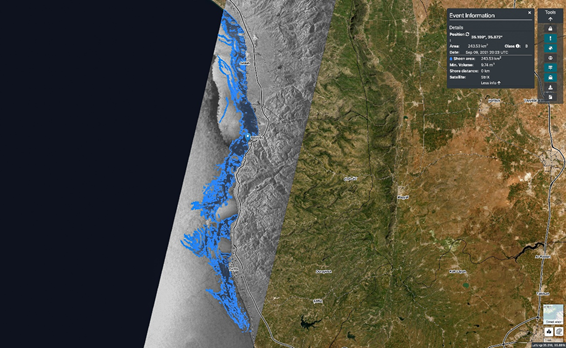
Synspective have signed a partnership agreement with Orbital EOS, who made use of StriX SAR data for the analysis of oil spill detection off the coast of Syria in September of 2021, leading to the identification of 243.5㎢ worth of oil spill.
2021.10.20 Information