News
-
Synspective Accelerates South American Expansion with Four New Commercial Reseller Partnerships
2026.08.26 Press Release
-

Wide-Area, Full-Slope Landslide Monitoring with Satellite Data2.5D Time-Series InSAR Using JAXA's ALOS-4 SAR Satellite Shows Close Agreement With On-Site Field Measurements
2026.06.22 Use Case
-
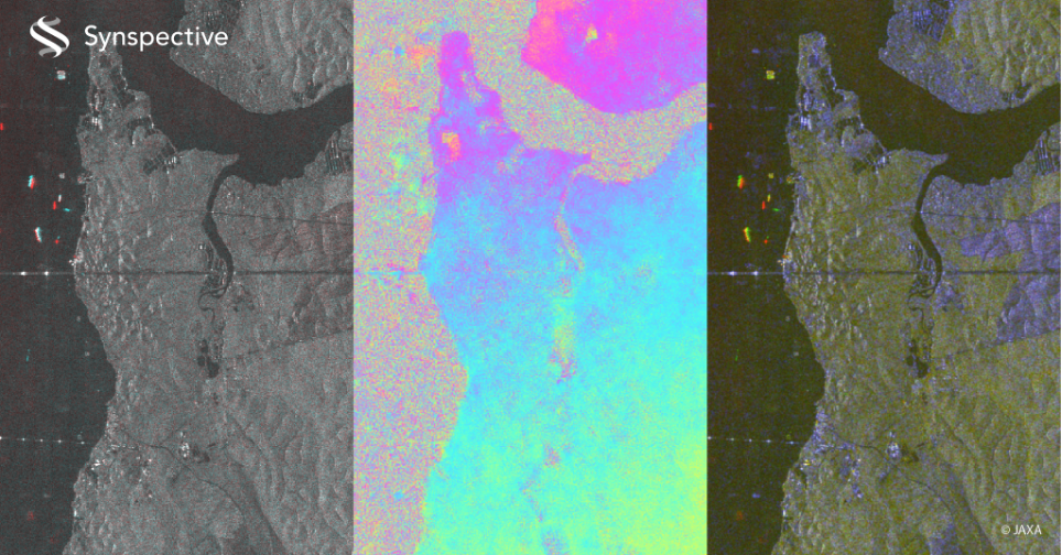
Synspective to Begin Service Provision with Japan's Advanced Radar Satellite Daichi-4 (ALOS-4)
2025.09.01 Information
-

Synspective is Selected for METI's Global South Co-Creation Subsidy
2025.02.04 Press Release
-
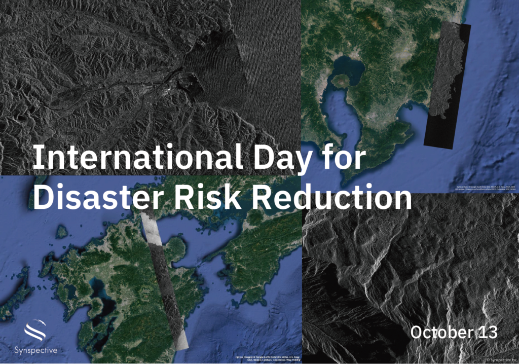
Disaster-related Observation with StriX
2024.10.13 Use Case
-
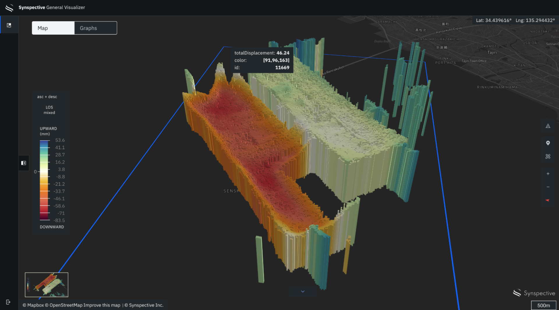
Monitor Land Displacement with Millimeter Accuracy Using SAR Satellites
2024.06.27 Use Case
-
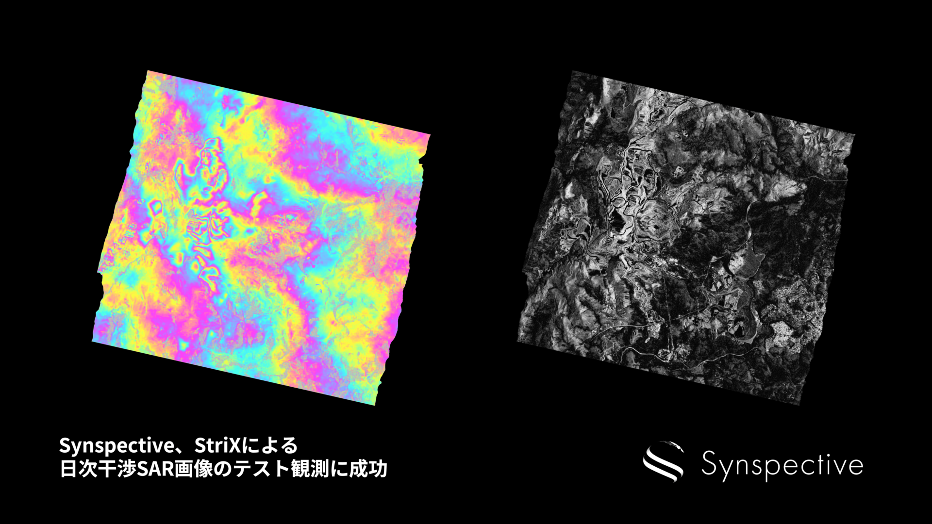
Synspective Succeeds in Test Observation of Daily InSAR Images
2024.06.06 Press Release
-

Synspective and Dynamic Map Platform has been selected for the Small and Medium-sized Enterprise Innovation Promotion Program by the Ministry of Land, Infrastructure, Transport and Tourism.
2024.02.29 Press Release
-
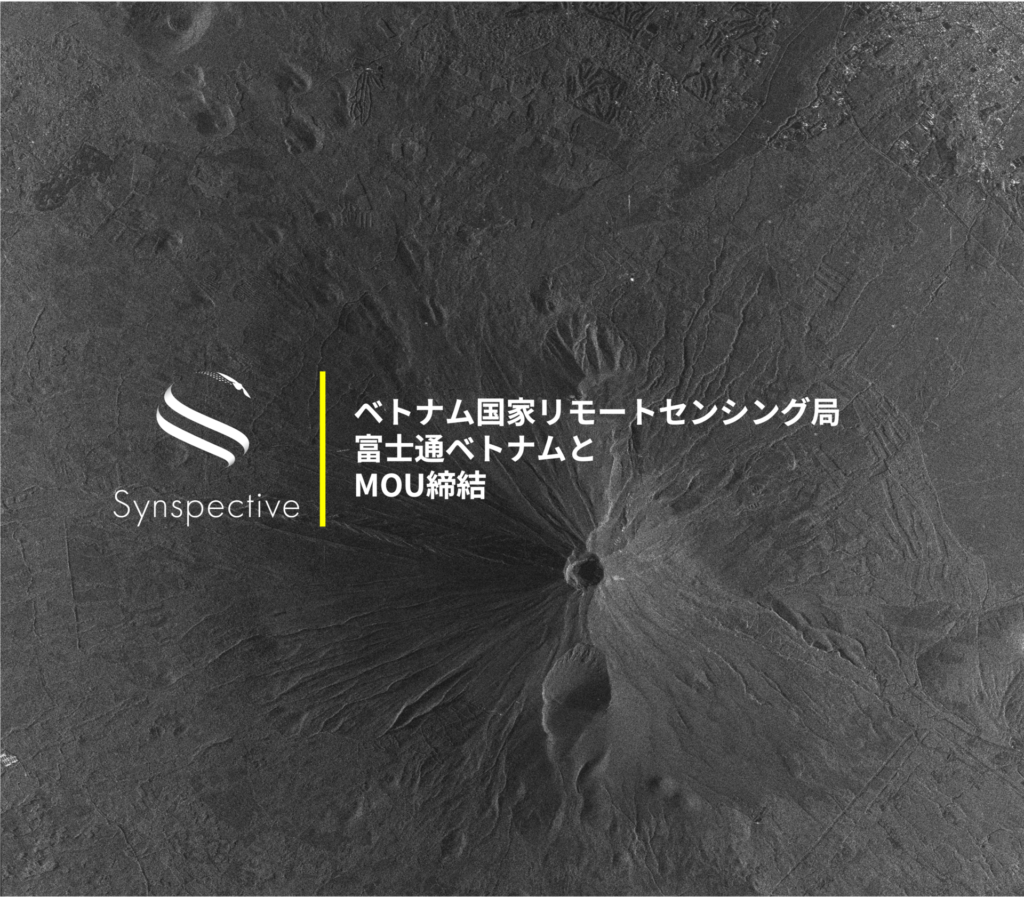
Synspective Signs MOU with the National Remote Sensing Agency of Vietnam and Fujitsu Vietnam to Enhance Natural Disaster Preparedness, Natural Resource Management, and Economic and Social Development
2024.02.08 Press Release
-

Analysis of ground risk in mm with SAR satellites
2024.01.10 Use Case
-

InSAR Analysis Partnership:Enhance Your Geospatial Analytics and Generate New Insights for Your Customers
2024.01.09 Information
-

The Sinking of JoshimathHow InSAR Can Help Monitor and Mitigate Large City Areas
2023.08.04 Use Case