News
-
Synspective Signs Agreement on the Use of Satellite Imagery During Disasters with NTT DOCOMO and NTT DATA
2026.08.28 Press Release
-
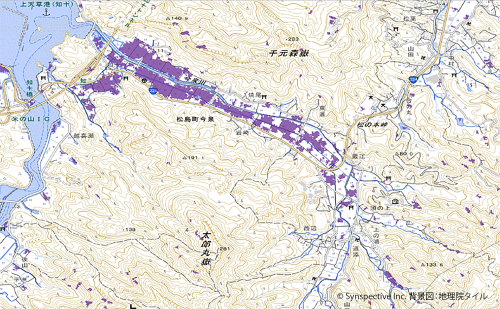
Synspective and Spectee Develop Higher-Precision Flood Extent Estimation Method Combining Satellite Imagery and Social Media Data
2026.08.12 Press Release
-

Why Singapore Is the Anchor for a Resilient Indo-Pacific
2026.08.10 Blogs
-

Wide-Area, Full-Slope Landslide Monitoring with Satellite Data2.5D Time-Series InSAR Using JAXA's ALOS-4 SAR Satellite Shows Close Agreement With On-Site Field Measurements
2026.06.22 Use Case
-

Synspective and KSAT Expand Strategic Alliance to Enhance SAR Satellite Operations and Global Data Delivery
2026.06.03 Press Release
-
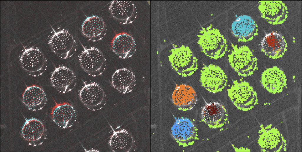
Centimeter-Accuracy Monitoring of Large-Displacement Infrastructure Using StriX SAR and the Pixel Offset Method
2026.05.13 Use Case
-

Disaster Resilience - Prepare, React, Recover
2026.03.26 Blogs
-
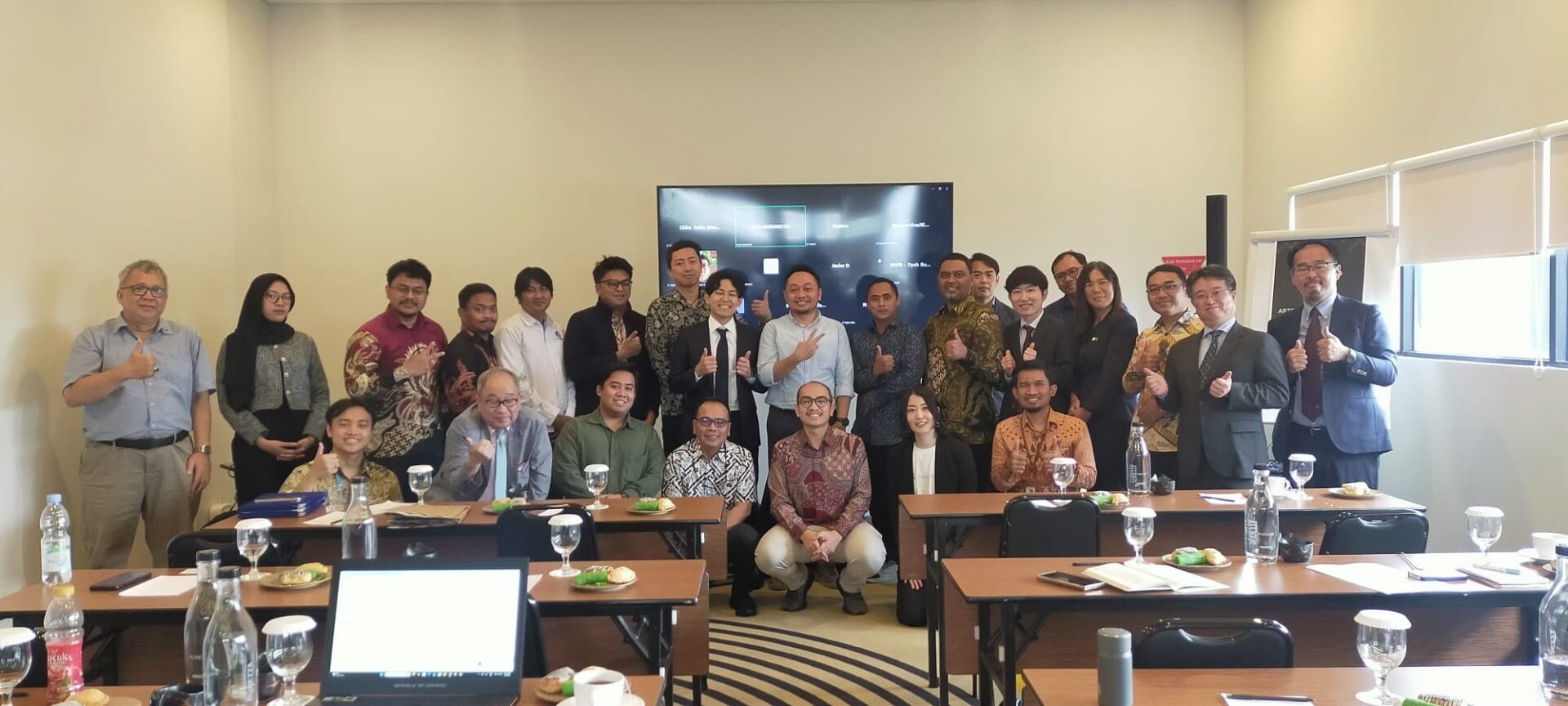
Synspective Co-Hosts Workshop with OC Global and MRT Jakarta on Satellite-Based Land Displacement Monitoring
2026.02.19 Information
-

Synspective Secures an Additional 10 Launches with Rocket Lab to Deploy StriX SAR Constellation
2025.09.30 Press Release
-
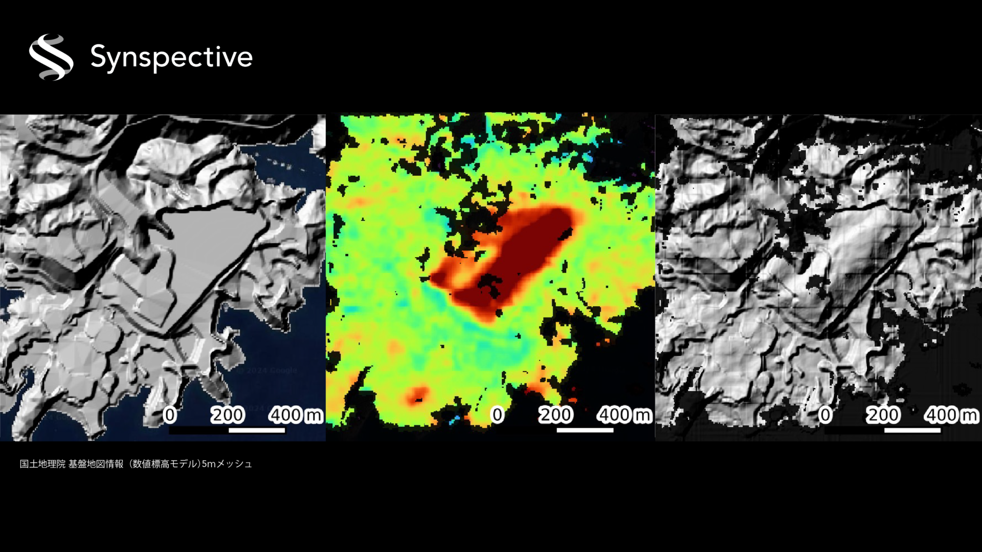
What is Synspective's InSAR dDEM Technology?
2025.08.19 Blogs
-

Synspective is Selected for METI's Global South Co-Creation Subsidy
2025.02.04 Press Release
-
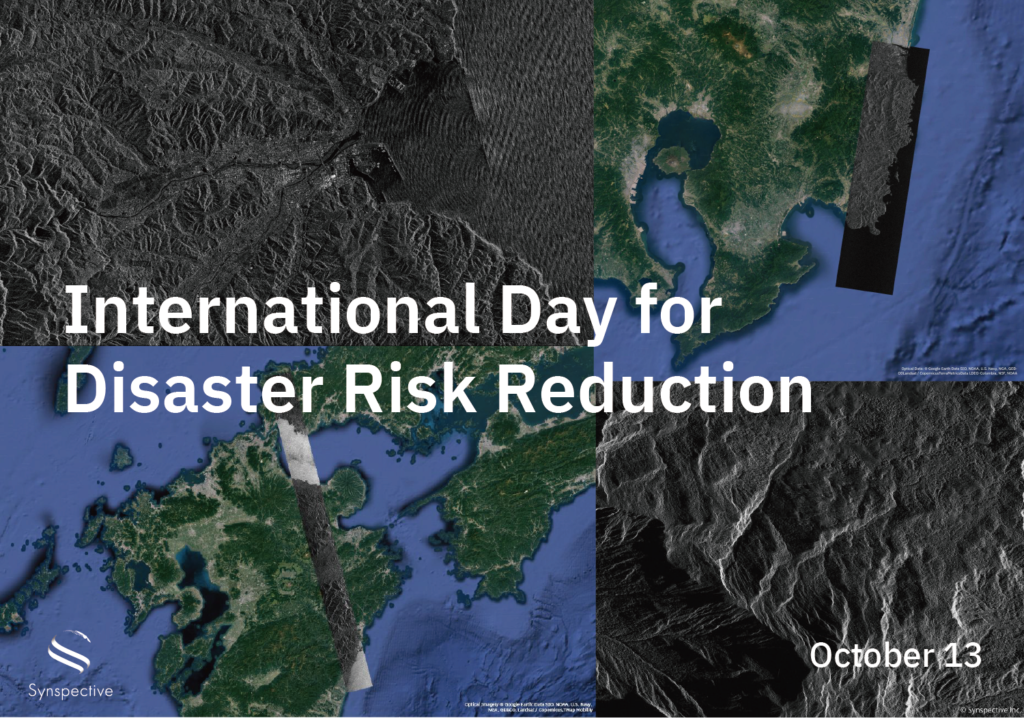
Disaster-related Observation with StriX
2024.10.13 Use Case