News
-
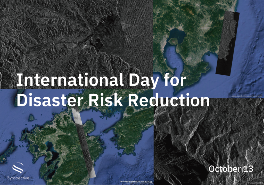
Disaster-related Observation with StriX
2024.10.13 Use Case
-
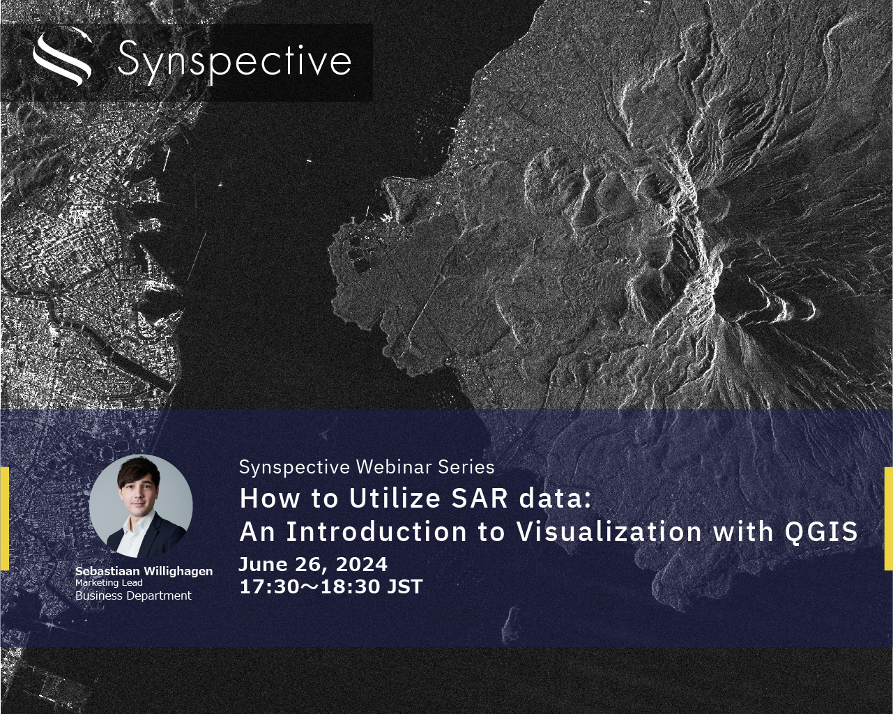
How to Utilize SAR data:An Introduction to Visualization with QGIS
2024.06.19 events
-
How to Utilize SAR data:An Introduction to Visualization with QGIS
2024.02.08 events
-
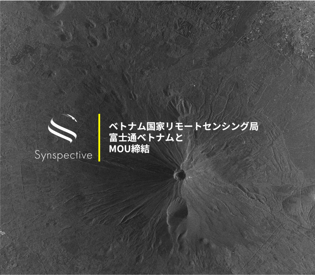
Synspective Signs MOU with the National Remote Sensing Agency of Vietnam and Fujitsu Vietnam to Enhance Natural Disaster Preparedness, Natural Resource Management, and Economic and Social Development
2024.02.08 Press Release
-

The Sinking of JoshimathHow InSAR Can Help Monitor and Mitigate Large City Areas
2023.08.04 Use Case
-

Synspective’s Takayuki Odawara will be speaking at the Indo-pacific Geointelligence conference in India
2023.06.02 events
-

A Use Case for Mitigating Mining Risks with Synspective’s SAR satellites
2022.11.22 Use Case
-
Synspective and GCRS Announce Partnership for SAR Satellite-Based Risk Analysis Solutions in South Asia
2022.11.15 Press Release
-
Synspective will be speaking at GSI 2022
2022.11.11 events
-
Synspective and NeoGeoInfo Technologies Sign Partnership Agreement to Apply SAR Satellite Solutions in India
2022.08.04 Press Release
-

A Use Case of Forest Monitoring with Satellites
2022.08.03 Use Case
-
Synspective Webinar Report - 4 things we learned from"Machine Learning-Based Object Detection using SAR Data"
2021.08.20 events