News
-
Synspective Accelerates South American Expansion with Four New Commercial Reseller Partnerships
2026.08.26 Press Release
-
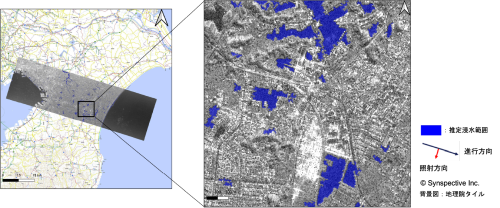
Heavy Rainfall in Chiba Prefecture (2026): Emergency Observation with Small SAR Satellites and Data Provision to Related Organizations
2026.08.14 Information
-
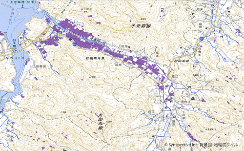
Synspective and Spectee Develop Higher-Precision Flood Extent Estimation Method Combining Satellite Imagery and Social Media Data
2026.08.12 Press Release
-
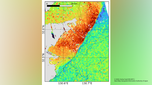
The 2026 Kumamoto Earthquake: InSAR and Pixel-Offset Analysis of ALOS-2 Data — Up to Approximately 1 m of Displacement Detected Along the Hinagu Fault Zone
2026.07.31 Information
-
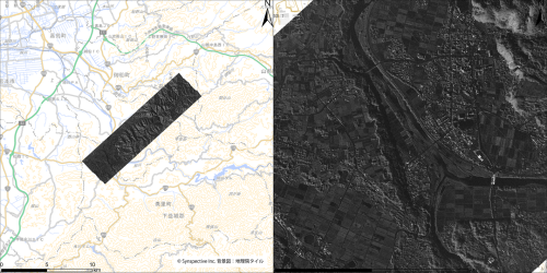
Kumamoto Earthquake (2026): Emergency Observation with Small SAR Satellites and Data Provision to Related Organizations
2026.07.29 Information
-

Wide-Area, Full-Slope Landslide Monitoring with Satellite Data2.5D Time-Series InSAR Using JAXA's ALOS-4 SAR Satellite Shows Close Agreement With On-Site Field Measurements
2026.06.22 Use Case
-
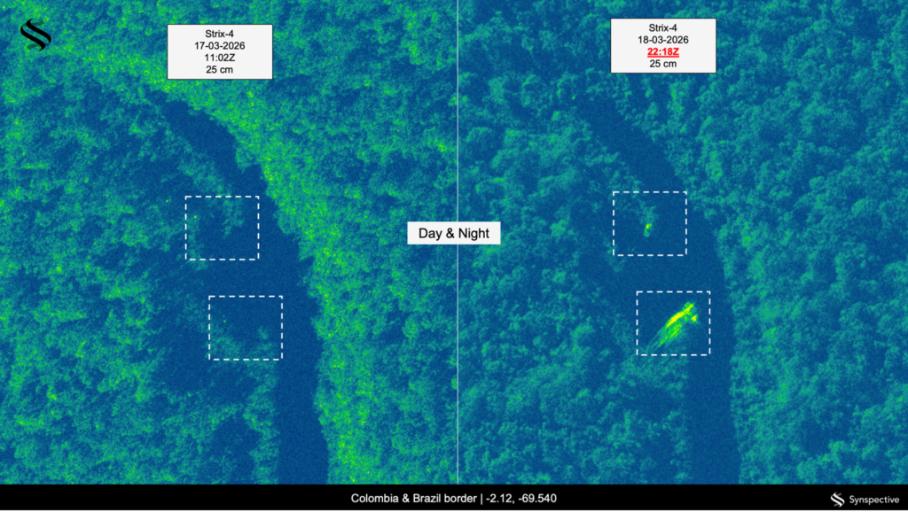
Detecting Illegal Mining in the Amazon Basin
2026.06.15 Use Case
-

Synspective and KSAT Expand Strategic Alliance to Enhance SAR Satellite Operations and Global Data Delivery
2026.06.03 Press Release
-

Synspective and e-GEOS Announce Strategic Partnership to Advance Next-Generation Geospatial Intelligence Solutions
2026.05.28 Press Release
-
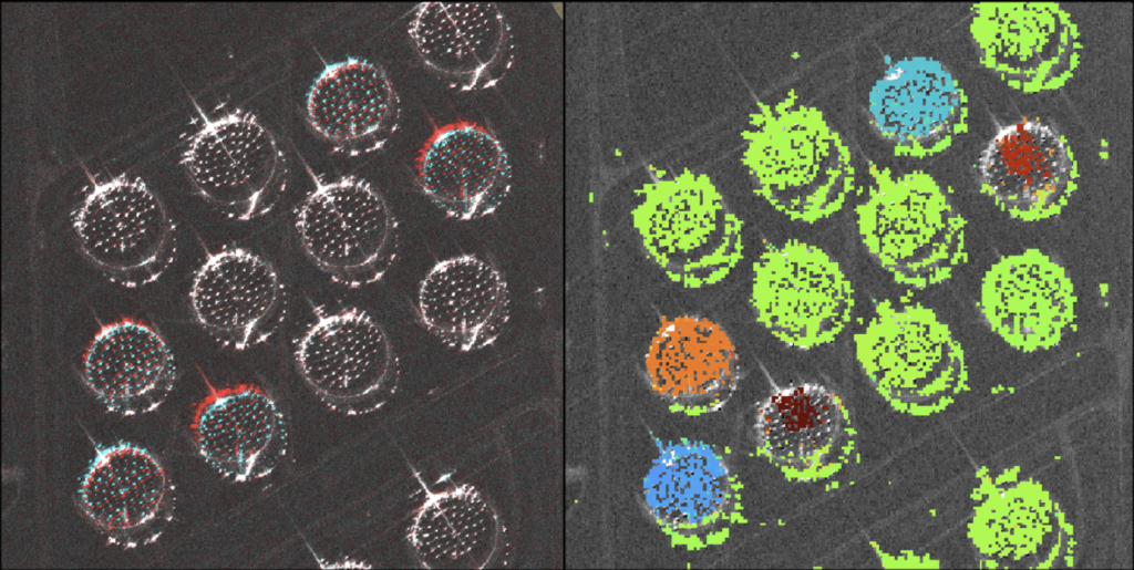
Centimeter-Accuracy Monitoring of Large-Displacement Infrastructure Using StriX SAR and the Pixel Offset Method
2026.05.13 Use Case
-

Synspective and SkyFi Partner to Simplify Access to High-Resolution SAR Satellite Imagery
2026.05.12 Press Release
-

The GEOINT Symposium: Why Synspective Continues to Lead on the Global Stage
2026.04.28 Blogs